
What is recorded here
In rough pasture and karstic pavement c. 240m E of the seashore, and within an extensive field system (CL009-001001-). A square enclosure (c. 25m NW-SE; c. 26m SW-NE) defined by a grassed-over stone wall. A later field wall is built along the SW side. A cashel (CL008A003002- ) lies c. 73m to the SW and another (CL008A003003-) lies c. 110m to the NE.
Compiled by: Mary Tunney
Date of upload: 29 March 2023
A local fairy fort (ringfort/rath); wider significance not recorded.
The monument record does not grant public access. Check the route and ask the landowner before entering private land.
- What survives
- Recorded monument
Places near here
 Church in BallaghalineChurch · 305 yd
 Doolin PointHeadland · 433 yd
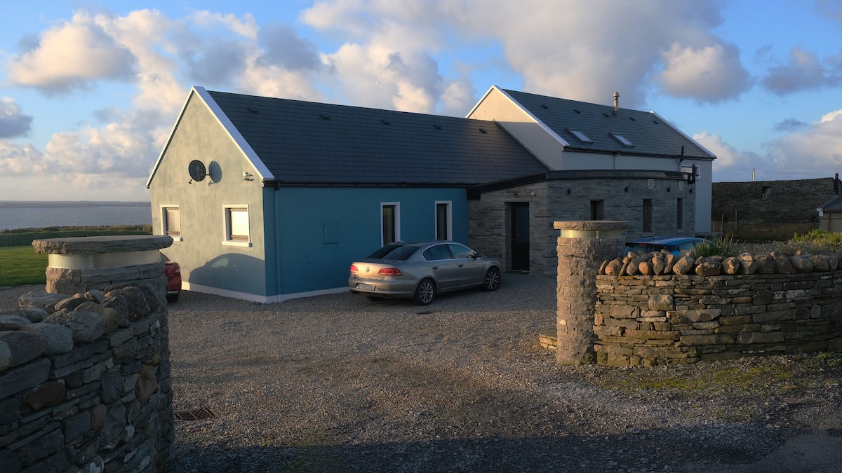 CaheradoonFairy fort / stone ringfort · 500 yd
 Wild Atlantic Way: Doolin PierVisitor information · 521 yd
 Doolin FerriesHeritage attraction · 525 yd
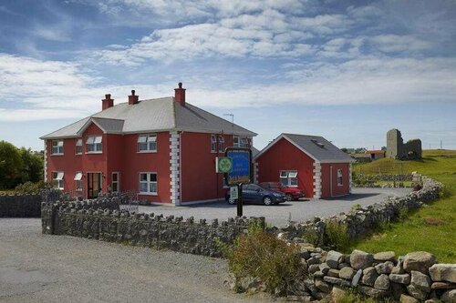 Enclosure in DoonmacfelimEnclosure · 553 yd
 Ballaghaline PointHeadland · 729 yd
 Crab IslandIslet · 821 yd
 Doonmacfelim Castle (in Ruins)Castle, tower house · 1441 yd
 bridgebridge · 1524 yd
 Fisherstreet PotCave · 1.0 mi
 Doonagore Castle in ruinsCastle, tower house · 1.2 mi
Other information
Photo: Credit not shown in the picture search · Rights wording not checked; contact us if this picture should be removed