What is recorded here
Crumpane holds a ruined stone ring on a scrubby hillside, watching Coulagh Bay through a narrow southern gap. The wall still stands in its lower courses, enclosing a small circular space where human hands once broke stone and carried it uphill. Local tradition calls it a fairy fort, which means the ordinary purpose has blurred into mystery. The measurement is clear, the function is not, and that uncertainty is what makes the place memorable.
On scrubby hillside, on break in SW-facing slope, commanding view over Coulagh Bay. Roughly circular area (22m N-S; 24.7m E-W) enclosed by ruinous stone wall. Lower courses of stone wall survive to SW. Break in wall to S (Wth 2.2m). (O'Brien 1970, 20).
The above description is derived from the published 'Archaeological Inventory of County Cork. Volume 1: West Cork' (Dublin: Stationery Office, 1992). In certain instances the entries have been revised and updated in the light of recent research.
Date of upload/revision: 14 January 2009
The monument record does not grant public access. Check the route and ask the landowner before entering private land.
- What survives
- Recorded monument
Places near here
 IndicatedBooley hut · 270 yd
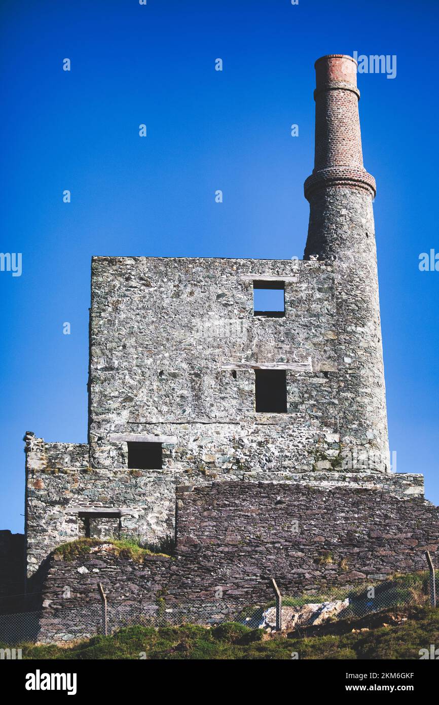 MineMine, copper · 640 yd
 Field boundary in BawnardField boundary · 847 yd
 garda station/constabulary barracksgarda station/constabulary barracks · 1.2 mi
 Wild Atlantic WayVisitor information · 1.4 mi
 Eyeries - Coastguard Station LoopWalking route · 1.5 mi
 Eyeries - Creha Quay LoopWalking route · 1.5 mi
 CarrigleamoreIslet · 1.6 mi
 The BullIslet · 1.9 mi
 Eagle HillMountain / peak · 1.9 mi
 Pallas StrandBeach / strand · 2.0 mi
 SkelligMountain / peak · 2.4 mi