What is recorded here
The fairy fort in Carrick is a stone ringfort on a clay-covered rock outcrop, commanding an ancient routeway and the River Finn. Its collapsed oval wall still stands seventy-five centimetres high on the north and east, marking a boundary between human ambition and local belief. People may have lived there, watched traffic below, or refused to enter because the stones belonged to fairies. The land remains excellent, the position undeniable, and the name still warns that strength alone does not explain every empty chamber.
Internal diam. c. 18m E-W, c. 26m N-S. An oval area enclosed by a collapsed stone wall and a possible outer wall lower down the slope of the hill. Surviving sections of wall exist on the N and E sides up to .75m in height. It is situated on top of a clay covered rock outcrop in a commanding position over-looking an ancient routeway and the River Finn. The surrounding land is excellent.
The above description was derived from the 'Archaeological Survey of County Donegal. A description of the field antiquities of the County from the Mesolithic Period to the 17th century.' Compiled by: Brian Lacey with Eamon Cody, Claire Cotter, Judy Cuppage, Noel Dunne, Vincent Hurley, Celie O'Rahilly, Paul Walsh and Seán Ó Nualláin (Lifford: Donegal County Council, 1983). In certain instances the entries have been revised and updated.
Date of upload: 22 September 2008
The monument record does not grant public access. Check the route and ask the landowner before entering private land.
- What survives
- Recorded monument
Places near here
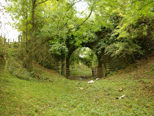 bridgebridge · 478 yd
 Holy WellHoly well · 548 yd
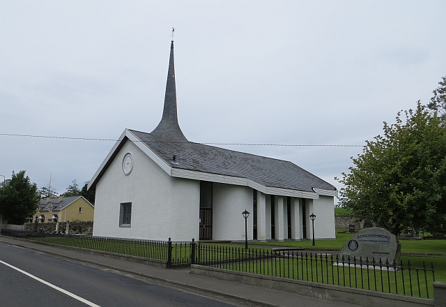 Donaghmore Presbyterian Churchchurch/chapel · 690 yd
 Enclosure in TiriniskEnclosure · 1649 yd
 CastleCastle, unclassified · 1.5 mi
 OutlinedBawn · 1.6 mi
 Carnowen HillMountain / peak · 1.8 mi
 BATTLE SITE: in 789 AD & BATTLE OF THE FORDS , Southern crossing, 1689 in Clady; DonnygowanBATTLE SITE: in 789 AD & BATTLE OF THE FORDS , Southern crossing, 1689 · 3.5 mi
 Croaghan HillMountain / peak · 4.0 mi
 Battle of Scarrifholisbattle · 11 mi
 Newmills Corn and Flax MillsHeritage attraction · 11 mi
 Killeter ForestForest · 12 mi