What is recorded here
Fairy fort and ringfort in Ballymorefinn, County Dublin. Glenasmole stretches below, coast and peaks beyond. A shallow circular hollow, wide enough for a small household or a crowded ritual, is bounded by a low drystone wall with a boulder heart. The road has cut through one side, yet the shape remains: a room built without roofs, facing the valley where people still point and call it a fairy fort.
Situated on the summit of a W-facing slope overlooking Glenasmole with magnificent views of the coast and surrounding mountain peaks. A ringfort comprises a hollowed, roughly circular area (int. dims.9m E-W; 14m N-S) which is defined by a drystone wall (Wth 3.2m; H 0.8m). The wall has a boulder core and traces of an inner and outer stone facing. The N side of the site is truncated by an avenue which itself is defined by a bank, ledge and scarp in the slope. (Healy 1975, 1-19).
Compiled by: Geraldine Stout and Padraig Clancy
Uploaded on: 7 July 2018
The monument record does not grant public access. Check the route and ask the landowner before entering private land.
- What survives
- Recorded monument
Places near here
 BarrowBarrow, ring-barrow · 562 yd
 Ballinascorney WoodForest · 825 yd
 SlievenabawnogeMountain / peak · 875 yd
 Ballymorefinn HillMountain / peak · 1028 yd
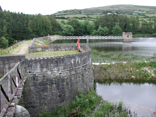 Glenasmole Reservoirdam/reservoir/basin · 1105 yd
 CairnCairn, unclassified · 1321 yd
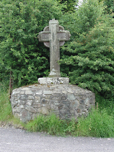 monumentmonument · 1393 yd
 Saint Ann's GraveyardRuins · 1.1 mi
 Saint Ann's WellSpring · 1.1 mi
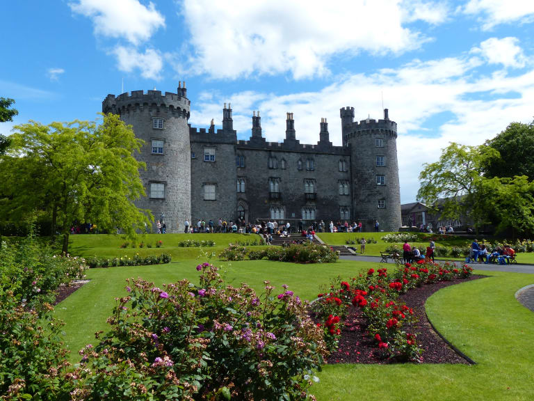 CastleCastle, unclassified · 1.6 mi
 Graveyard in BallymanaGraveyard · 1.9 mi
 Featherbed ForestForest · 2.0 mi