
What is recorded here
Situated S of the junction of the R114 and Ballinascorney Road, located in poor upland pasture in an area of rock outcrop. A cairn, grass covered and irregular in plan (7.8m E-W; 5m N-S; H 3m).
Compiled by: Geraldine Stout and Padraig Clancy
Revised upload on: 7 July 2018
The monument record does not grant public access. Check the route and ask the landowner before entering private land.
- What survives
- Recorded monument
Places near here
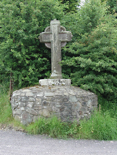 monumentmonument · 121 yd
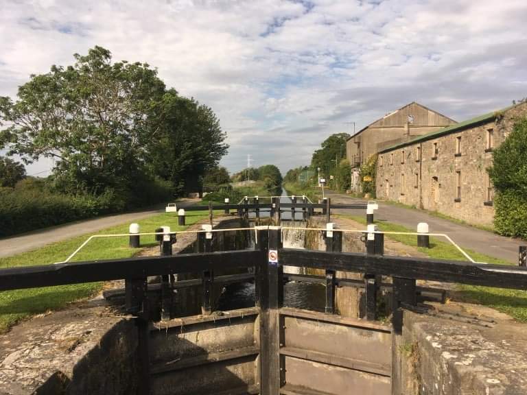 BarrowBarrow, ring-barrow · 321 yd
 Enclosure in Ballinascorney UpperEnclosure · 585 yd
 SlievenabawnogeMountain / peak · 613 yd
 Ballinascorney WoodForest · 644 yd
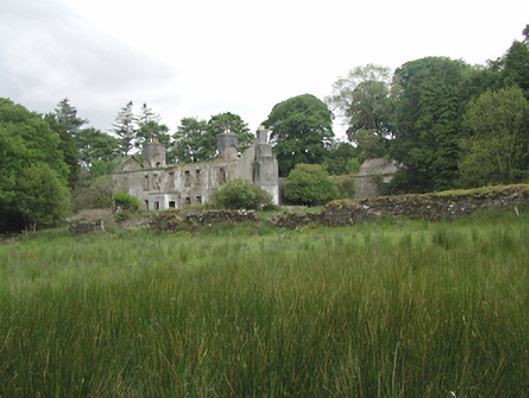 Ballinascorney Househunting/fishing lodge · 940 yd
 Black HillMountain / peak · 1235 yd
 Graveyard in BallymanaGraveyard · 1.3 mi
 Saint Ann's GraveyardRuins · 1.8 mi
 Saint Ann's WellSpring · 1.8 mi
 Carty's CastleRuins · 2.3 mi
 Hellfire WoodForest · 2.4 mi
Other information
Photo: Credit not shown in the picture search · Rights wording not checked; contact us if this picture should be removed