
What is recorded here
Situated on a steep N-facing slope which is furze covered, and falls away to a dried-up valley. A ring-barrow identified by Healy (1975, 1-19) as being double-banked. There are man-made terraces on the slope to the SW of the ring-barrow.
Compiled by: Geraldine Stout and Padraig Clancy
Revised upload on 7 July 2018
A Neolithic ring-barrow, likely dating to the Early to Middle Bronze Age, characterized by its double-banked structure. Such monuments are significant as they reflect early funerary and ritual practices in the Irish landscape.
The monument record does not grant public access. Check the route and ask the landowner before entering private land.
- What survives
- Recorded monument
Places near here
 Ballinascorney WoodForest · 309 yd
 SlievenabawnogeMountain / peak · 355 yd
 CairnCairn, unclassified · 770 yd
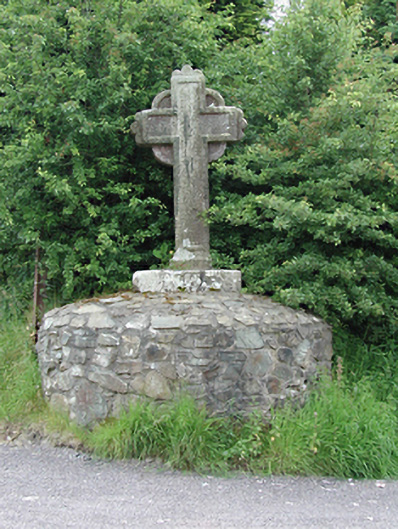 monumentmonument · 834 yd
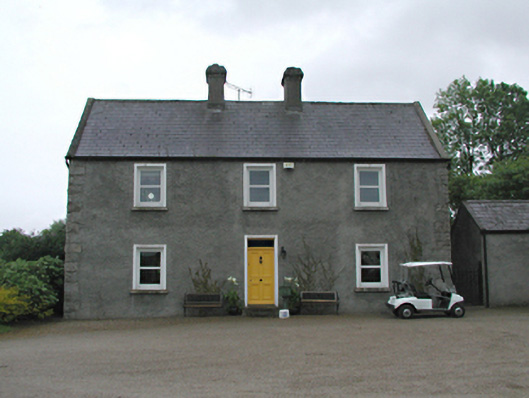 Hawthornfarm house · 1162 yd
 Black HillMountain / peak · 1162 yd
 Enclosure in Ballinascorney UpperEnclosure · 1286 yd
 Saint Ann's GraveyardRuins · 1.4 mi
 Saint Ann's WellSpring · 1.4 mi
 Graveyard in BallymanaGraveyard · 1.6 mi
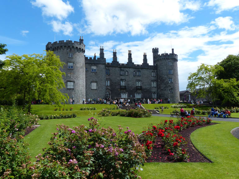 CastleCastle, unclassified · 1.9 mi
 Carty's CastleRuins · 2.1 mi
Other information
Photo: Credit not shown in the picture search · Rights wording not checked; contact us if this picture should be removed