What is recorded here
No visible ruin, no museum label, no warning tape. Only a low ring of stones half-swallowed by grass on a sunny slope above the bog water. That is the whole trick. It does not announce itself as history. It waits for someone to walk past, notice the shape, and remember that people lived there before the field became empty. The fort is small enough to fit inside one breath, yet old enough to make the breath feel short.
On a lowlying S-facing slope in pasture just N of a bog surrounding Ballinlisheen Lough c. 430m to the E. A subcircular enclosure (diam. c. 17m) defined by a partially grassed-over stony bank visible on OSi MapGenie orthophotography 2013-2018 and on Digital Globe (2011-2013). A contemporary NE-SW field boundary abutting the NW quadrant is visible on Digital Globe.
Compiled by: Mary Tunney
Date of upload: 18 November 2025
The monument record does not grant public access. Check the route and ask the landowner before entering private land.
- What survives
- Recorded monument
Places near here
 Enclosure in BallinlisheenEnclosure · 522 yd
 IndicatedEcclesiastical enclosure · 874 yd
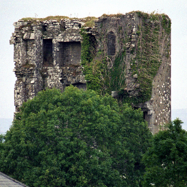 Kilkeedy Castle (in ruins)Castle, tower house · 1274 yd
 Bawn in DerryowenBawn · 1644 yd
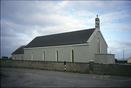 Saint Michael's Catholic Churchchurch/chapel · 1.3 mi
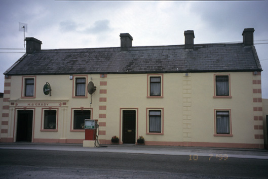 M. O'Gradyhouse · 1.4 mi
 Slieve RoeMountain / peak · 3.2 mi
 Mullagh MoreMountain / peak · 3.3 mi
 Kilmacduagh MonasteryHeritage attraction · 3.8 mi
 Kilmacduagh Monastic SiteVisitor information · 3.8 mi
 Mulkere MemorialMemorial · 4.2 mi
 Father Ted's HouseHeritage attraction · 4.5 mi