What is recorded here
Half-built by God and half by men, the fort in Prieststown stands thirty-one metres wide on a natural ledge of earth, its southern edge plunging into a stream like a cliff cut for defense. The northern gap remains open to the sky, as if whoever lived there trusted the land to keep them safe from every other direction. Cattle still walk the rough pasture above it, unaware they graze the roof of a house that never needed walls.
Diam. c. 31m. Marked on the 1st and 2nd editions of the OS 6-inch maps. A field fence indicates the former extent of this 'Fort'. It seems to have been a mainly natural earthen platform dropping steeply on the S to a stream. It is situated in rough pasture and was naturally defended except to the N.
The above description was derived from the 'Archaeological Survey of County Donegal. A description of the field antiquities of the County from the Mesolithic Period to the 17th century.' Compiled by: Brian Lacey with Eamon Cody, Claire Cotter, Judy Cuppage, Noel Dunne, Vincent Hurley, Celie O'Rahilly, Paul Walsh and Seán Ó Nualláin (Lifford: Donegal County Council, 1983). In certain instances the entries have been revised and updated.
Date of upload: 22 September 2008
The monument record does not grant public access. Check the route and ask the landowner before entering private land.
- What survives
- Recorded monument
Places near here
 Montgomery's FortFairy fort / ringfort · 1445 yd
 bridgebridge · 1.1 mi
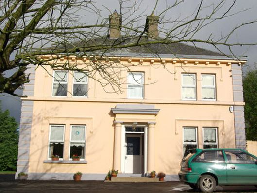 Convoy Parochial Housepresbytery/parochial/curate's house · 1.3 mi
 Bawn in Killynure OR Wilsons FortBawn · 1.4 mi
 Convoy Excavated Enclosure SiteEnclosure · 1.5 mi
 Mongorry HillMountain / peak · 3.3 mi
 CastleCastle, unclassified · 4.0 mi
 Lurgybrack Open FarmHeritage attraction · 4.2 mi
 Carnowen HillMountain / peak · 4.7 mi
 Dry Arch MonumentHeritage attraction · 5.0 mi
 Drumboe WoodForest recreation place · 5.6 mi
 Battle of Scarrifholisbattle · 5.9 mi