What is recorded here
No visible trace of the Oughtagh ringfort remains, but the vanished earthworks likely enclosed a home, a shrine or a workshop beneath the grass. That absence does not diminish the place; it invites imagination. The region still contains enough marked chambers, caves and forts to show that people shaped this landscape repeatedly.
Immediately E of a ringfort (GA007-107----). Marked on 1st ed. of OS 6-inch map as a subcircular enclosures (c. 20m by c. 15m). Apart from a vegetation band at SE and SW, no visible surface trace survives.
The above description is derived from the published 'Archaeological Inventory of County Galway Vol. II - North Galway'. Compiled by Olive Alcock, Kathy de hÓra and Paul Gosling (Dublin: Stationery Office, 1999).
Date of upload: 05 August 2010
The monument record does not grant public access. Check the route and ask the landowner before entering private land.
- What survives
- Recorded monument
Places near here
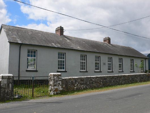 Toberroe National Schoolschool · 791 yd
 Ardagh Ho.House, 18th/19th century · 1349 yd
 Enclosure in Ardagh (ballymoe By.)Enclosure · 1610 yd
 Enclosure in Newtown (ballymoe By.)Enclosure · 1630 yd
 Site of Killomaine Grave YardArchaeological place · 1.3 mi
_-_geograph.org.uk_-_1952978.jpg?width=1280) Bawn in Glinsk (ballymoe By.)Bawn · 1.8 mi
Bawn in Glinsk (ballymoe By.)Bawn · 1.8 mi Site of Ballyglass CastleCastle, unclassified · 2.8 mi
 Rook HillMountain / peak · 2.8 mi
 HawthornHawthorn · 5.8 mi
 Mount MaryMountain / peak · 6.2 mi
 European ashEuropean ash · 7.7 mi
 Sally IslandIslet · 7.9 mi