What is recorded here
Dowd's Ringfort stood south of the Newtown burial ground, a large earthwork visible in 1837 but lost to memory before modern cameras arrived. The name suggests a family claimed or inhabited the circle, perhaps tending gardens or keeping livestock inside its rim while neighbours passed by. Its disappearance is not failure but ordinary land change: fields expanded, stones scattered, memory shortened. The fort still exists in the shape of the story told about it.
Situated to the S of the burial ground at Newtown (DU024:001----). The OS Letters (1837) describe a large ringfort monument known as 'Dowd's Ringfort' (O'Flanagan 1927, 48). Not precisely located.
Compiled by: Geraldine Stout and Padraig Clancy
Revised upload on: 7 July 2018.
The monument record does not grant public access. Check the route and ask the landowner before entering private land.
- What survives
- Recorded monument
Places near here
 The Rilligeen (Burial Ground Disused)Church · 403 yd
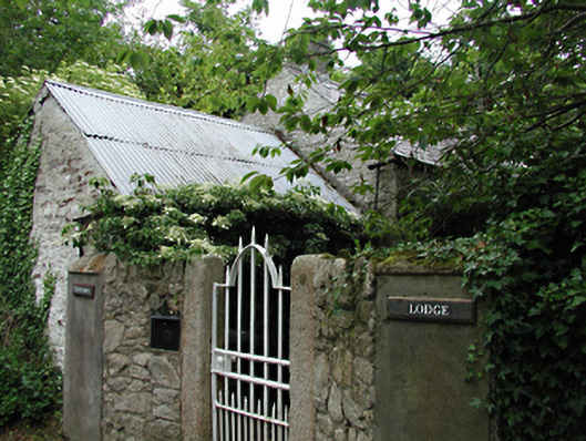 Newtown Lodgeoutbuilding · 497 yd
 Font in Calliaghstown LowerFont · 968 yd
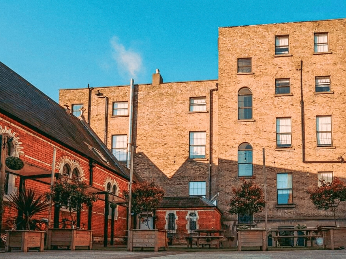 Chapel fieldReligious house, unclassified · 1053 yd
 Saggart HillMountain / peak · 1589 yd
 Colmanstown Castle (in ruins)Castle, tower house · 1.6 mi
 Inniscara GalleryGallery · 1.8 mi
 Rathcoole WoodlandWood · 1.9 mi
 Cupidstown HillMountain / peak · 2.1 mi
 Kilteel WoodWood · 2.2 mi
 Kilteel CastleCastle, tower house · 2.3 mi
 Meadow WildlifeVisitor information · 2.3 mi