What is recorded here
Situated on the W facing slope of Saggart Hill. A Holy water font was originally found at the site. A house known as Slademore Lodge was identified by the OS Letters (1837) as the site of a burial ground (DU024-003002-) (Herity 2001, 39). This was the property of St. Mary de Hogges (Ball Vol.3, 125).
From the National Monuments Service (Archaeological Survey of Ireland) record DU024-003002
The monument record does not grant public access. Check the route and ask the landowner before entering private land.
- What survives
- Recorded monument
Places near here
Photo credits
- National Inventory of Architectural Heritage
- Colin Park, Geograph · CC BY-SA 2.0
- Bogman, Wikimedia Commons · CC BY-SA 3.0
- Mike Searle, Geograph · CC BY-SA 2.0
- Sitomon, Wikimedia Commons · CC BY-SA 2.0
- JP, Geograph · CC BY-SA 2.0
- 瑞丽江的河水, Wikimedia Commons · CC BY-SA 4.0
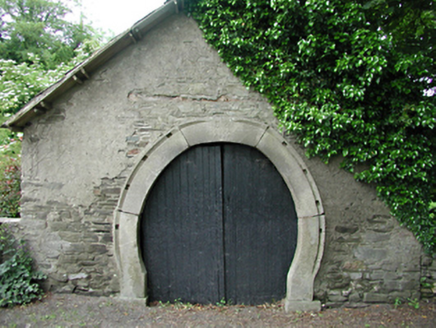 forge/smithy645 yd
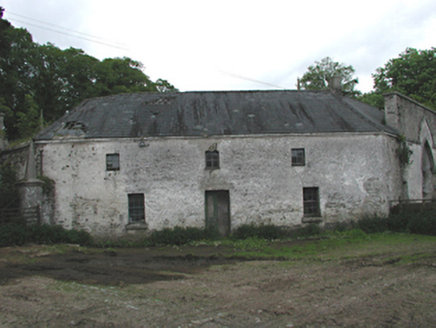 Johnstown HouseOffice · 1190 ydSaggart HillMountain / peak · 1351 yd
 Cupidstown HillMountain / peak · 1.6 miKilteel WoodWood · 1.7 mi
 Kilteel CastleCastle, tower house · 1.8 miInniscara GalleryGallery · 2.3 mi
 CastleCastle, tower house · 3.4 mi
 European Yew3.6 mi
 Grand Canal WayWalking route · 4.8 mi
 Rath Turtle MoatFairy fort / ringfort · 5.5 mi
 Rath Turtle MoatArchaeological place · 5.5 mi
More archaeology and monuments in County Dublin · All of County Dublin
What do you know about this place?