What is recorded here
Shown on the 1st ed. (1838) of the OS 6-inch map as a circular enclosure (est. max. diam. c. 35m), but not recorded on the latest ed. (1911) of the map. On a moderately steep NW-facing pasture slope. The monument is no longer visible at ground level and a modern house with associated small fields/garden occupies the S area of the site.
Compiled by: Gearóid Conroy
Date of upload: 10 June 2011
The monument record does not grant public access. Check the route and ask the landowner before entering private land.
- What survives
- Recorded monument
Places near here
 Fuaran WellHoly well · 1.3 mi
 Enclosure in DysartEnclosure · 1.6 mi
 Dunfierth ChurchChurch · 1.7 mi
 Site of Dunfierth CastleCastle, unclassified · 1.7 mi
 The Grill ShackHeritage attraction · 1.8 mi
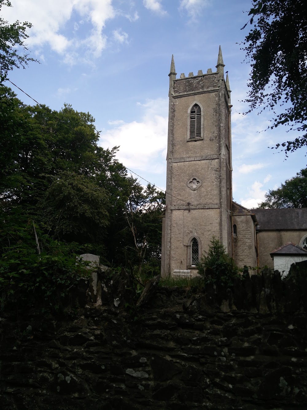 Church in HortlandChurch · 2.2 mi
 9/11 MemorialMemorial · 3.7 mi
 Cloncurry GraveyardHeritage attraction · 3.8 mi
 Cloncurry MoatCastle, motte · 3.8 mi
 Old Bog Road made famous by Teresa Bryton 1868-1943Memorial · 4.8 mi
 Horse-chestnutHorse-chestnut · 5.0 mi
 Ballynafagh Bog Special Area of ConservationNature reserve · 5.3 mi