What is recorded here
No visible trace survives of the ringfort in Millford, though early maps marked a circular enclosure and later showed its western half levelled. The flat tillage near Creggs village has erased the boundary, leaving only a ghost of a circle behind plough lines and memory.
In flat tillage to NW of Creggs village. Marked on 1st ed. of OS 6-inch map as a circular enclosure (D c. 30m) and on 3rd ed. (1930) as a semicircular enclosure (D c. 35m), the W half of which appears to have been levelled. No visible surface trace survives.
The above description is derived from the published 'Archaeological Inventory of County Galway Vol. II - North Galway'. Compiled by Olive Alcock, Kathy de hÓra and Paul Gosling (Dublin: Stationery Office, 1999).
Date of upload: 05 August 2010
The monument record does not grant public access. Check the route and ask the landowner before entering private land.
- What survives
- Recorded monument
Places near here
 Creggs Presbyterian Churchchurch/chapel · 323 yd
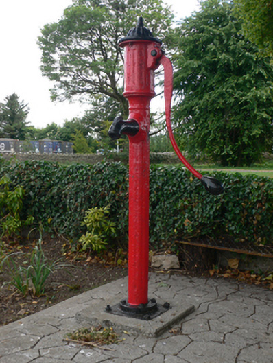 water pumpwater pump · 341 yd
 Enclosure in MillfordEnclosure · 1419 yd
 LiscarraghArchaeological place · 1531 yd
 Mount MaryMountain / peak · 2.1 mi
 Sally IslandIslet · 2.4 mi
 CastleCastle, unclassified · 3.0 mi
 European ashEuropean ash · 3.3 mi
 European YewEuropean Yew · 3.4 mi
 Castle KellyCastle, tower house · 4.0 mi
 Site of Killomaine Grave YardArchaeological place · 5.2 mi
 Inch IslandIsland · 10 mi