What is recorded here
Half the ring has vanished into the grass, leaving only a shallow scar and a modern gap where the earth gave way. Yet the hidden passage still breathes beneath the ridge, waiting for someone brave enough to listen for its echo. The fairies did not build it; they inherited the forgetting.
On the crest of a ridge in undulating grassland. Poorly preserved circular rath (D 24.5m) defined by a bank and external fosse. The bank survives from NE to S and from W to N; elsewhere a scarp forms the enclosing element. Faint traces of the fosse are visible from NE to SW and from W to N. Several modern gaps and small quarries are present. There is a probable Man-made underground passage (GA086-192001-) in the interior and a house (GA086-194----) c. 100m to SSW.
The above description is derived from the published 'Archaeological Inventory of County Galway Vol. II - North Galway'. Compiled by Olive Alcock, Kathy de hÓra and Paul Gosling (Dublin: Stationery Office, 1999).
Date of upload: 05 August 2010
The monument record does not grant public access. Check the route and ask the landowner before entering private land.
- What survives
- Recorded monument
Places near here
 Site of Lisnamoltaun CastleCastle, unclassified · 394 yd
 CastleCastle, unclassified · 821 yd
 Quarry in Castlebin NorthQuarry · 1318 yd
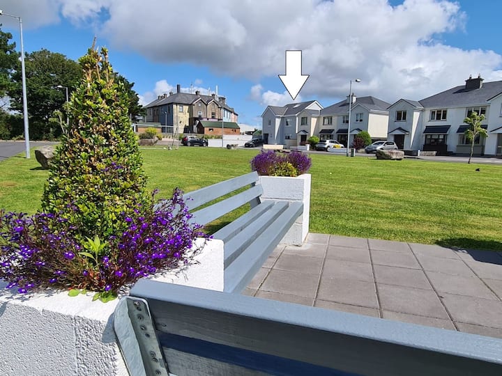 Enclosure in CloverparkEnclosure · 1420 yd
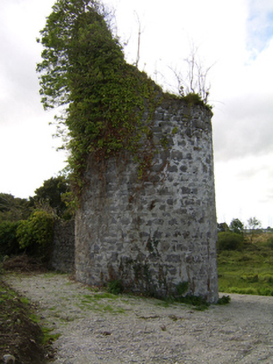 Woodlawnfolly · 1617 yd
 Enclosure in Killagh MoreEnclosure · 1701 yd
 Large-leaved LimeLarge-leaved Lime · 1.7 mi
 Western RedcedarWestern Redcedar · 2.1 mi
 Kilconnell AbbeyHeritage attraction · 3.0 mi
 Turoe StoneHeritage attraction · 5.7 mi
 Battle of Aughrim Interpretative CentreMuseum · 5.7 mi
 Battle of AughrimMajor battlefield · 6.0 mi