What is recorded here
In lowlying level wet pasture with poor views in all directions. Surveyed by ASI in 2000 and described as consisting of a raised circular-shaped area (dims. 16m N-S; 17m E-W) defined by a scarp (Wth 6.60m; H 1.4m). Interior gently undulating and clear of undergrowth. Levelled monument (overall diam. 54m) visible today as a faint cropmark on Digital Globe orthoimage taken 2011-2013 and Google Earth orthophoto taken 14/02/2020.
See attached Google Earth orthoimages
Compiled by: Fiona Rooney
Date of upload: 16 July 2020
The monument record does not grant public access. Check the route and ask the landowner before entering private land.
- What survives
- Recorded monument
Places near here
 Enclosure in KilgobbinEnclosure · 242 yd
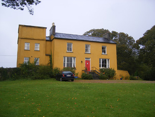 Clonunion Househouse · 1040 yd
 Newborough Housecountry house · 1238 yd
 Franciscan AbbeyArchaeological place · 1746 yd
 European BeechEuropean Beech · 1.1 mi
 European YewEuropean Yew · 1.1 mi
 Desmonds Castle (in ruins)Castle, Anglo-Norman masonry castle · 1.2 mi
 Adare Desmond CastleMedieval castle · 1.2 mi
 Desmond CastleHeritage attraction · 1.2 mi
 CastleCastle, tower house · 1.4 mi
 Adare Tourist OfficeVisitor information · 1.6 mi
 Biodiversity in the Maigue CatchmentVisitor information · 4.4 mi