What is recorded here
Thirty-eight metres of packed earth and shadow sit in the Clonbrock grassland, waiting for footsteps that stopped coming centuries ago. The eastern gap invites entry rather than blocking it, as if the fort still expects visitors instead of soldiers. A second enclosure watches from three hundred metres south-west, suggesting neighbourhood rather than loneliness. The fair-condition bank holds its shape because nobody has argued with it since the last human hand left it.
In grassland within the former Clonbrock estate. Circular rath (D 38m), in fair condition, defined by an inner bank, intervening fosse and slight traces of an outer bank at S. A gap (Wth 4m) at E may be original. An enclosure (GA060-047----) lies c. 300m to SW.
The above description is derived from the published 'Archaeological Inventory of County Galway Vol. II - North Galway'. Compiled by Olive Alcock, Kathy de hÓra and Paul Gosling (Dublin: Stationery Office, 1999).
Date of upload: 05 August 2010
The monument record does not grant public access. Check the route and ask the landowner before entering private land.
- What survives
- Recorded monument
Places near here
 Caltraghpasty FortArchaeological place · 324 yd
 SycamoreSycamore · 370 yd
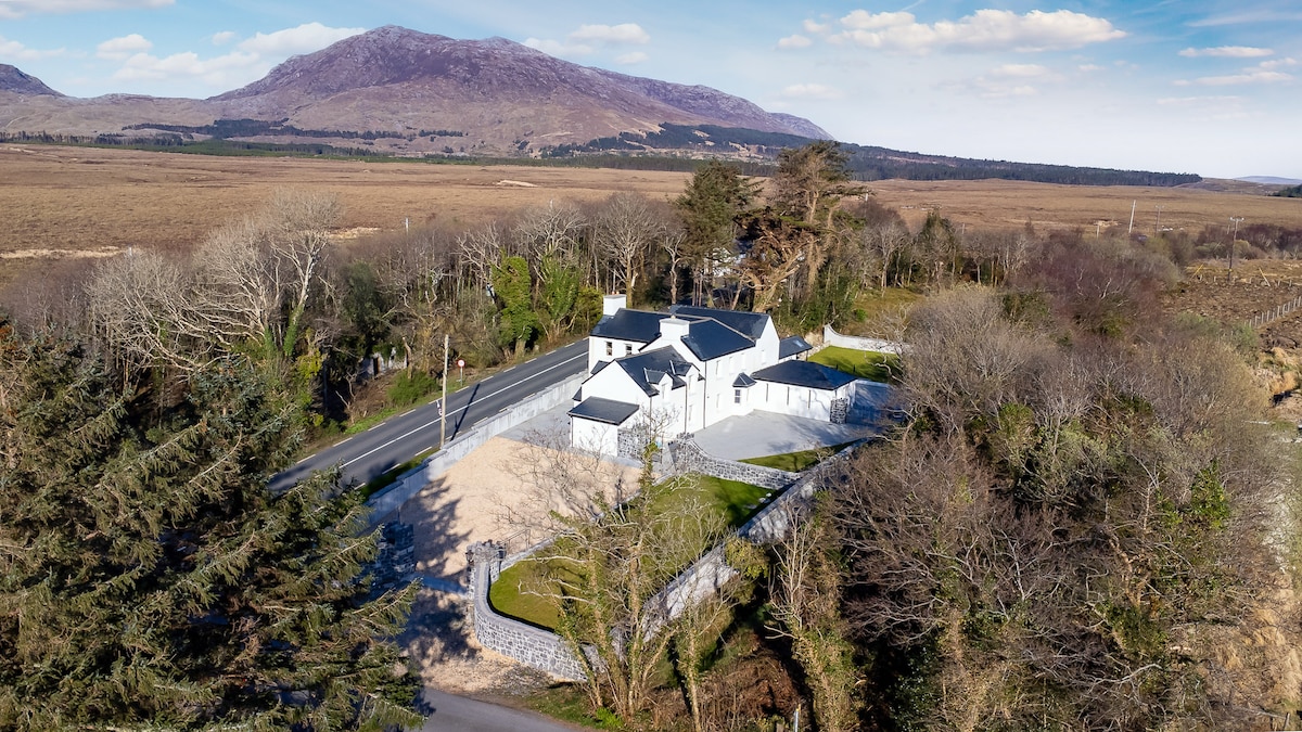 IndicatedFairy fort / ringfort · 632 yd
 Sweet ChestnutSweet Chestnut · 748 yd
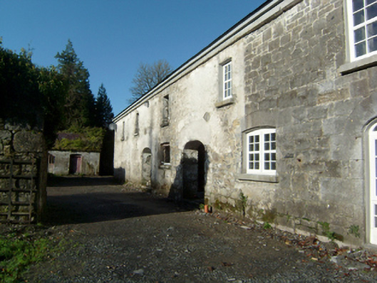 Clonbrockoutbuilding · 868 yd
 Clonbrock CastleCastle, tower house · 875 yd
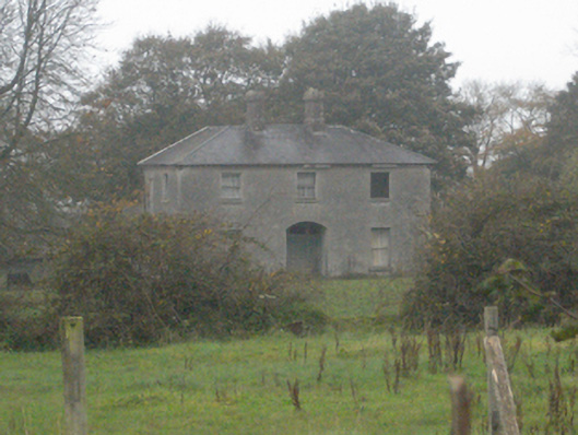 Pallashouse · 1557 yd
 Site of Doon CastleCastle, unclassified · 1.9 mi
 Kilconnell AbbeyHeritage attraction · 4.7 mi
 Battle of Aughrim Interpretative CentreMuseum · 7.3 mi
 Battle of AughrimMajor battlefield · 7.9 mi
 The bloody HollowHeritage attraction · 8.1 mi