What is recorded here
Four metres of collapsed drystone wall still circle Carheenlea, though scrub and forgotten feet have swallowed most of the fort. Inside, large foundation stones and whitethorn bushes mark a rectangular chamber, while an overgrown hollow at the north-west may hide a passage built by human hands. The fort is no longer a fort in any proud sense, but its shape resists erasure, holding the ghost of a room, a doorway and a life that stopped being remembered.
In scrubland. Poorly preserved overgrown circular cashel (D 40m) defined by a collapsed drystone wall partially obscured by field clearance. In E part of the interior, a roughly rectangular area is defined by large foundation stones and whitethorn bushes. In NW sector, an overgrown hollow was pointed out by the landowner as the site of a 'cave' (possible Man-made underground passage).
The above description is derived from the published 'Archaeological Inventory of County Galway Vol. II - North Galway'. Compiled by Olive Alcock, Kathy de hÓra and Paul Gosling (Dublin: Stationery Office, 1999).
Date of upload: 05 August 2010
The monument record does not grant public access. Check the route and ask the landowner before entering private land.
- What survives
- Recorded monument
Places near here
 Enclosure in CarheenleaEnclosure · 403 yd
 IndicatedFairy fort / ringfort · 418 yd
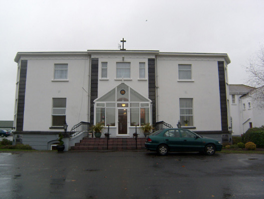 Cuan Mhuirehouse · 1208 yd
 Church in Grange EastChurch · 1.1 mi
 Cashlaunnagrantha in ruinsCastle, tower house · 1.1 mi
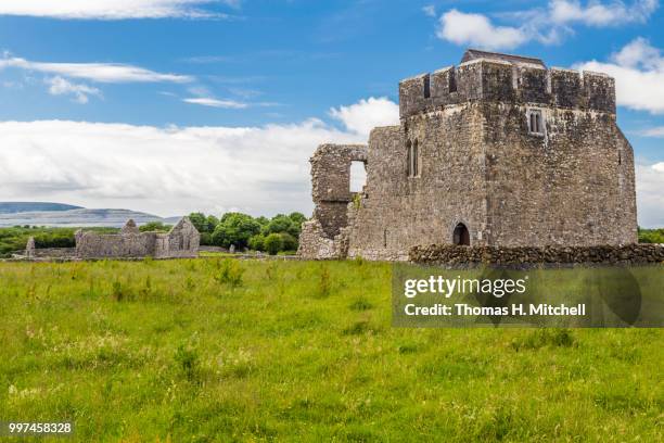 Kilskeagh castleCastle · 1.2 mi
 The HazelWood · 2.1 mi
 European BeechEuropean Beech · 3.1 mi
 First Battle of Athenrybattle · 4.7 mi
 Athenry CastleHeritage attraction · 5.3 mi
 Athenry AbbeyHeritage attraction · 5.4 mi
 Rabbit IslandIslet · 9.9 mi