What is recorded here
Walterstown’s fairy fort stood forty metres wide on the steep edge above the Ballynacorra river, its earthworks once rising twelve feet high. Local memory still traces a low surviving bank in the northeast, while marina development has consumed most of the interior. The fort is no longer a complete ring, but the river-edge setting and scattered earth remain visible beside the water.
On edge of steep drop to E shore of Ballynacorra river estuary. Hachured on 1935 OS 6-inch map as sub-circular enclosure (diam. c. 40m). Healy (1904, 114-5) describes it as being 'of very great size....though a large portion of it has disappeared....Some of the embankments of the rath are not less than twelve feet high'. Vincent MacMahon (pers. comm. May 1990) describes 'a low earthen bank (bordering the) NE and E, the NE bank possibly part of the original ringfort bank as suggested by locals'. Most of interior now damaged or built over by development of private marina.
The above description is derived from the published 'Archaeological Inventory of County Cork. Volume 2: East and South Cork' (Dublin: Stationery Office, 1994). In certain instances the entries have been revised and updated in the light of recent research.
Date of upload/revision: 14 January 2009
The monument record does not grant public access. Check the route and ask the landowner before entering private land.
- What survives
- Recorded monument
Places near here
 Mass-rock in WalterstownMass-rock · 88 yd
 Campbell's MagnoliaCampbell's Magnolia · 149 yd
 Japanese walnutJapanese walnut · 178 yd
 CastleCastle, unclassified · 287 yd
 Fulacht fia in WalterstownFulacht fia · 353 yd
 Holy Trinity Church of Ireland Churchchurch/chapel · 497 yd
 worker's houseworker's house · 519 yd
 Site of old schoolHeritage attraction · 764 yd
 Bagwells TowerCastle · 1228 yd
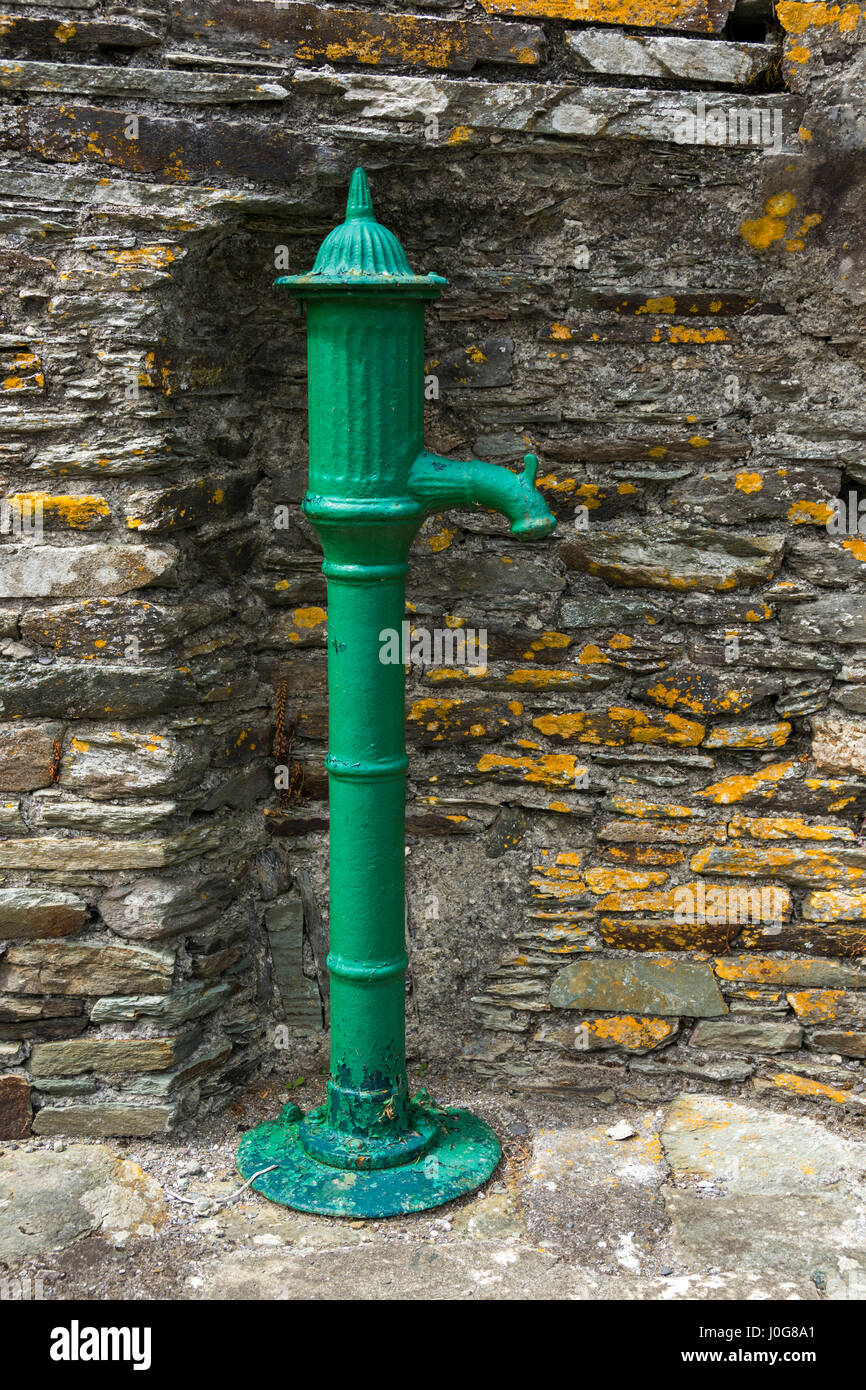 Water PumpHeritage attraction · 1433 yd
 Glenmore StrandBeach / strand · 1.1 mi
 Garrankinnefeake GraveyardRuins · 1.3 mi