
What is recorded here
Spread of burnt material (30m N-S; 16m E-W) visible in ploughed field.
The above description is derived from the published 'Archaeological Inventory of County Cork. Volume 2: East and South Cork' (Dublin: Stationery Office, 1994). In certain instances the entries have been revised and updated in the light of recent research.
Date of upload/revision: 14 January 2009
The monument record does not grant public access. Check the route and ask the landowner before entering private land.
- What survives
- Recorded monument
Places near here
 CastleCastle, unclassified · 70 yd
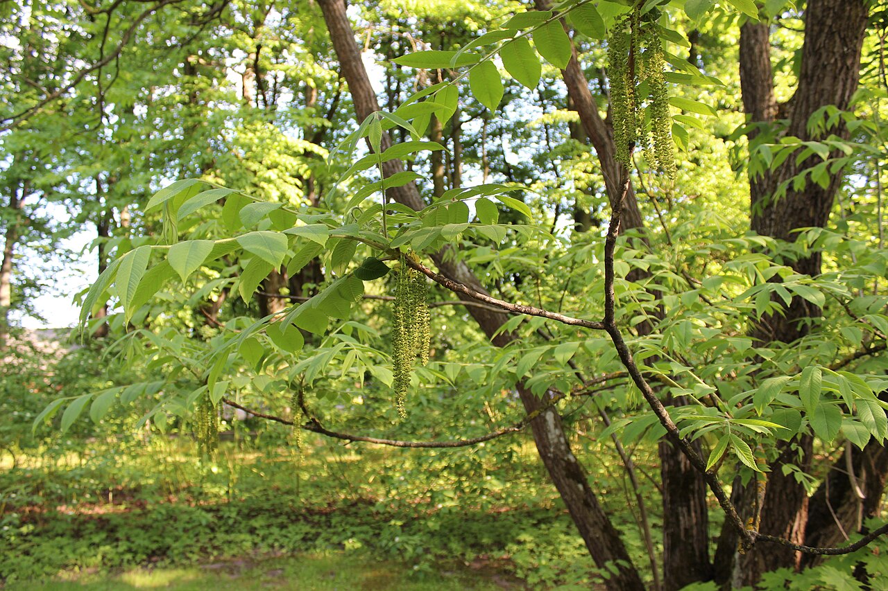 Japanese walnutJapanese walnut · 285 yd
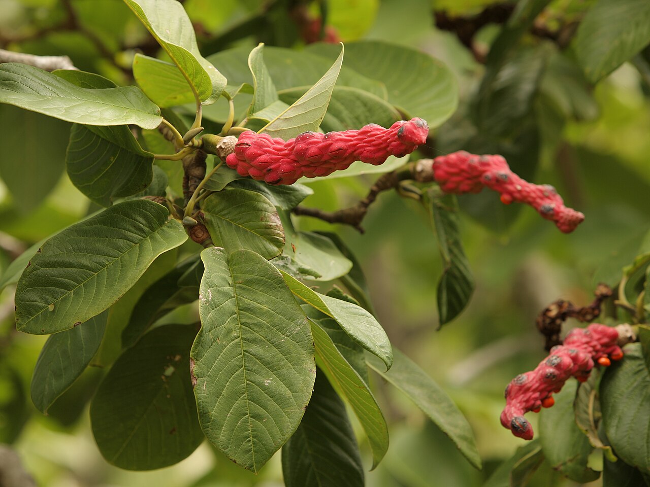 Campbell's MagnoliaCampbell's Magnolia · 318 yd
 gate lodgegate lodge · 324 yd
 worker's houseworker's house · 397 yd
 Site of old schoolHeritage attraction · 415 yd
 Mass-rock in WalterstownMass-rock · 438 yd
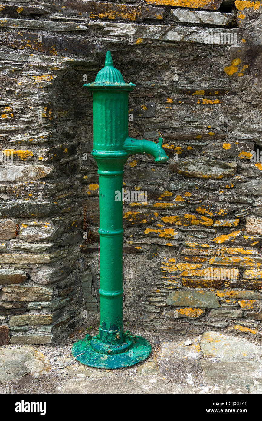 Water PumpHeritage attraction · 1083 yd
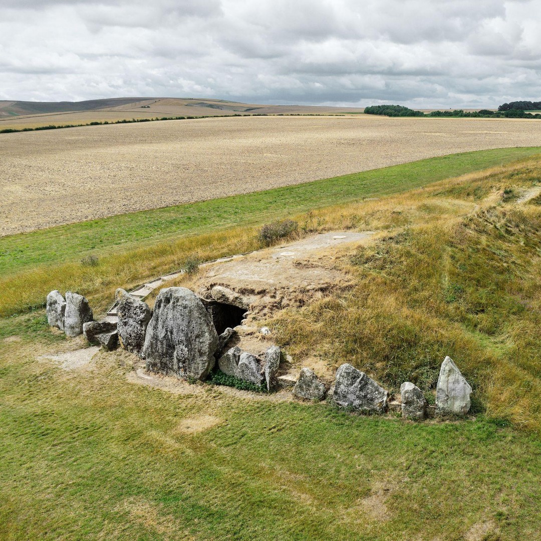 BarrowBarrow, mound barrow · 1315 yd
 Bagwells TowerCastle · 1403 yd
 Glenmore StrandBeach / strand · 1706 yd
 Garrankinnefeake GraveyardRuins · 1.5 mi
Other information
Photo: Credit not shown in the picture search · Rights wording not checked; contact us if this picture should be removed