What is recorded here
In pasture, on land sloping down gently to W. Monument, depicted as tri-vallate embanked circular enclosure on 1923 OS 6-inch map, has been levelled and incorporated into pasture field. However, it is still discernible as circular area (diam. 41m), defined by scarped edge (H 0.2m; Wth 1.4m) with two external concentric banks. Middle bank (H 0.1m; Wth 2.3m) separated from scarp by short space (Wth 2m). Outer bank (H 0.1m; Wth 2m) is only evident NE->E and WSW->NNW. Surrounding field boundaries have been removed and land drained. According to local information enclosure levelled to present state in 1970s.
Compiled by: Denis Power
Date of upload: 26 August 2011
This monument is subject to a preservation order made under the National Monuments Acts 1930 to 2014 (PO no. 9/1956).
The monument record does not grant public access. Check the route and ask the landowner before entering private land.
- What survives
- Recorded monument
Places near here
 ToberhoranSpring · 630 yd
 Fairy fort / earthen ringfort in AhaveheenFairy fort / earthen ringfort · 727 yd
 Moated site in AhaveheenMoated site · 1286 yd
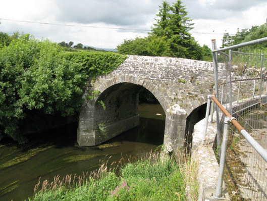 Broken Bridgebridge · 1.1 mi
 KilnKiln, lime · 1.4 mi
 CastleCastle, unclassified · 1.7 mi
 ToberacappeenSpring · 1.8 mi
 Castle (in ruins), Springfield CastleCastle, tower house · 2.2 mi
 National Co-op MuseumMuseum · 2.8 mi
 Ballagh MountainMountain / peak · 6.6 mi
 Mullaghareirk - Banane LoopWalking route · 7.0 mi
 Rock HillMountain / peak · 9.1 mi