What is recorded here
Fairy forts are not fairy forts at all. They are the discarded boundary marks of human time, misread by imagination because they no longer serve the living. Tulach Chonóg is one of them: a shallow circular wound on a south-facing slope, visible only when grass grows unevenly across old rain-washed earth. The fairies inherit what people stop remembering.
Situated on a S-facing slope. The cropmark of a circular area (diam. c. 40-45m) defined by a single fosse feature with a possible entrance gap (Wth c. 4m) at SE is visible on Google Earth (29/06/2018; 14/07/2018). It was first reported by Jean Charles Caillere.
See the attached view from Google Earth 14/07/2019
Compiled by: Michael Moore
Date of upload: 5 June 2019
The monument record does not grant public access. Check the route and ask the landowner before entering private land.
- What survives
- Recorded monument
Places near here
 Church (in Ruins)Church · 377 yd
 Not idicaetedFairy fort / earthen ringfort · 549 yd
 Enclosure in KildalkeyEnclosure · 1748 yd
 Moymet CastleCastle, tower house · 1.8 mi
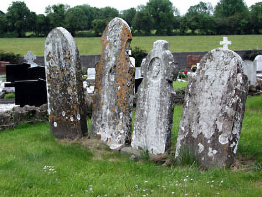 Saint Dympna's Cemeterygraveyard/cemetery · 2.0 mi
 CastleCastle, motte · 2.6 mi
 FraineMountain / peak · 3.0 mi
 JamestownMountain / peak · 3.9 mi
 The New Line RoadMemorial · 5.3 mi
 FarmaphobiaHeritage attraction · 5.4 mi
 Causey FarmHeritage attraction · 5.4 mi
 Laurelberry WoodWood · 5.6 mi