What is recorded here
Fairy forts are misnamed: human ringforts, circular and old. In Tonagh the earthwork still marks a forty-metre circle even where farming has softened it. People lived, buried tools, forgot the name, and the field swallowed the rest.
Although this rath has been largely levelled and incorporated into the field boundary from SSW-W, the outline of the bank and fosse is still identifiable enclosing a circular area (diam. c. 40m).
The above description is derived from the published 'Archaeological Inventory of County Cavan' (Dublin: Stationery Office, 1995). In certain instances the entries have been revised and updated in the light of recent research.
Date of upload/revision: 22 December 2008
The monument record does not grant public access. Check the route and ask the landowner before entering private land.
- What survives
- Recorded monument
Places near here
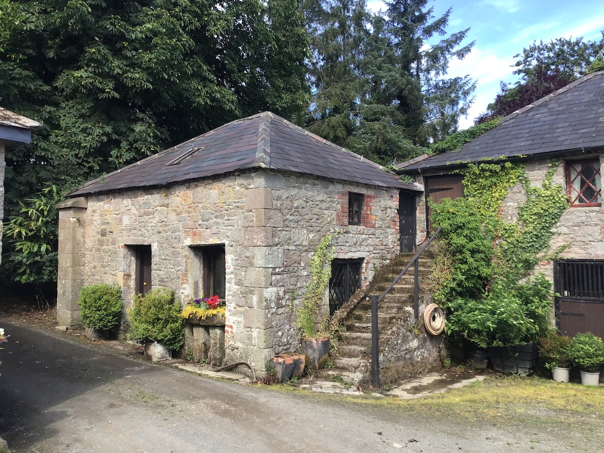 Enclosure in BobsgroveEnclosure · 381 yd
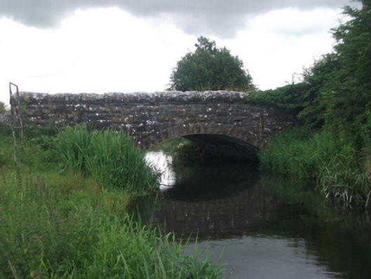 Ross Bridgebridge · 548 yd
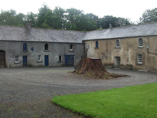 Farren Connellstables · 598 yd
 Bob's GroveForest · 998 yd
 Ross CastleCastle, tower house · 1244 yd
 Stone CrossCross, Wayside cross · 1471 yd
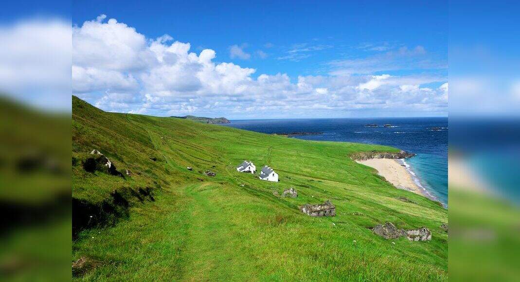 Inchicup IslandIslet · 1.0 mi
 Wall IslandIslet · 1.1 mi
 Ross BayBay · 1.3 mi
 Muldarry PointHeadland · 1.5 mi
 Crover Old Castle (in Ruins)Castle, tower house · 1.6 mi
 Fox CovertForest · 1.8 mi