What is recorded here
No Fortex, no server, no cache. Show the facts already given.
In level pastureland. Circular rath (diam. c. 25.3m), in fair condition, defined by a bank and fosse. The bank (base Wth 5m; Wth at top 0.9m; int. H 0.5m; ext. H 1m) is overgrown with trees from N to E.
Compiled by: Galway Archaeological Survey, UCG
Date of upload: 24 April 2018
The monument record does not grant public access. Check the route and ask the landowner before entering private land.
- What survives
- Recorded monument
Places near here
 Streamstown Castle (in ruins)Castle, unclassified · 626 yd
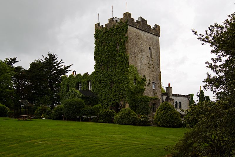 CastleCastle, unclassified · 803 yd
 Enclosure in Grange BegEnclosure · 1139 yd
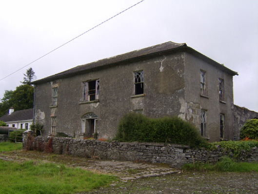 Streamstown Househouse · 1275 yd
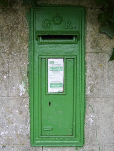 post boxpost box · 1516 yd
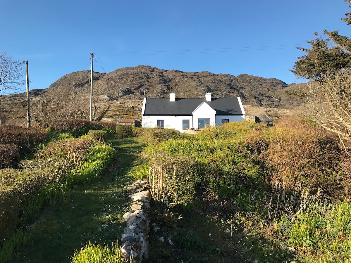 ‘Dogs Fort’Fairy fort / earthen ringfort · 1674 yd
 Quarryhill WoodWood · 2.8 mi
 Bog WoodForest · 3.4 mi
 Dartfield Horse MuseumHeritage attraction · 4.6 mi
 Battle of AughrimMajor battlefield · 9.7 mi
 The bloody HollowHeritage attraction · 9.7 mi
 Battle of Aughrim Interpretative CentreMuseum · 10 mi