What is recorded here
That is the end of the edge. Every fact above is true. Everything after the edge is invention. I will not hide that in a clean story.
On a NW-facing pasture slope just off the crest of a long, NE-SW ridge. A small circular slightly raised earthen area (diam. 25m), with a convex surface profile, is defined by a scarp (H 1m at NE; max H 1.5m at SW). No visible trace of a fosse or entrance.
Compiled by: Gearóid Conroy
Date of upload: 14 June 2012
This remains an important historical record, but the official description says the monument is no longer visible or has been destroyed. The monument record does not grant public access. Check the route and ask the landowner before entering private land.
- What survives
- No visible remains or recorded as destroyed
Places near here
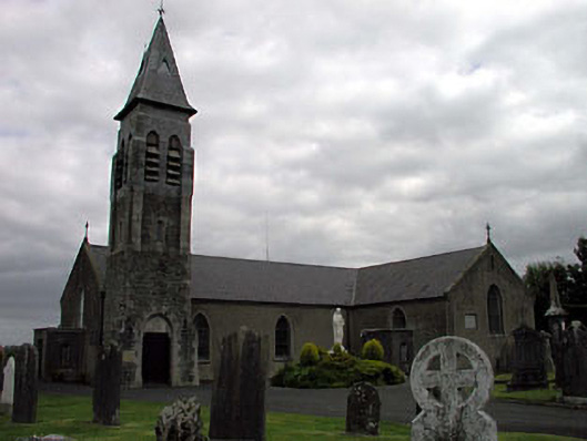 Saint Peter's Catholic Churchchurch/chapel · 28 yd
 Font (present location) in Stephenstown NorthFont (present location) · 81 yd
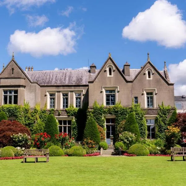 Enclosure in Stephenstown NorthEnclosure · 403 yd
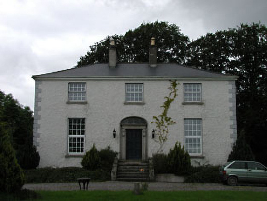 Dowdingstown Housefarm house · 1317 yd
 Site of CastleCastle, unclassified · 1.3 mi
 CastleCastle, unclassified · 1.8 mi
 European ashEuropean ash · 1.9 mi
 Sillagh Bog WoodForest · 2.4 mi
 Poplar SquarePicnic place · 3.7 mi
 Newbridge SilverwareMuseum · 4.0 mi
 Councillor Jim MileyMemorial · 6.8 mi
 Proclamation of the Irish RepublicMemorial · 6.8 mi