What is recorded here
Poll Dominic, a shallow rectangular scar in the western flank of the Slieve East ringfort, still holds fragments of its drystone lining. Local story claims a highwayman buried gold there, transforming a forgotten passage into a treasure trap. The oval platform rises six metres above the stream bed, terraced and defended by a wide fosse that disappears only where a disused field bank cut through the northern edge. Vegetation now strangles the outer bank, but the sudden depth and hidden chamber keep the place alive under its fairy name.
This ringfort with Man-made underground passage lies on a S facing slope near the head of the Emlagh river valley, and is located in the angle between a small SW flowing stream and a small SSE flowing tributary of the Emlagh river. The present remains are irregular and disturbed and are partly obscured by vegetation. The monument consists of a level, oval platform which is partly surrounded by a fosse and an outer bank. The outer bank is present in the SE quadrant only; it is 1.7m high above the bed of the stream and 2m high above the fosse. The condition and nature of the latter vary considerably. It is not present at all in the NE quadrant. When it commences at N it is .4m deep and 2m wide but it gradually widens to 7.5m at W, where it meets the SSE flowing stream. In the SW quadrant, its place is taken by the stream gully whose bottom lies 5 to 6m below the crest of the platform. For the remainder of its circumference it is man-made, at least in part, and averages 7m in width and 3.4m in depth below the top of the platform. The platform measures c. 20m SW-NE x 14.5m NW-SE across its upper surface. Along the NE sector it is raised only . 8m above the external ground level but the depth of the fosse gradually increases towards the SW where the platform is up to 6m high above the stream bed. The flank of the platform is terraced for much of the S half of its circumference; it falls c. 1.4m to a level terrace, up to 4m wide, and then falls again to the stream or fosse. The lack of a fosse and outer bank in the NE quadrant may be due to the presence of a NW-SE running field bank, now disused, along this side of the site.
The Man-made underground passage in the WSW sector of the platform is now no more than a rectangular depression measuring 6.5m NE-SW x 1.3m x 1.1m deep. Some small fragments of its drystone lining adhere to the sides. This feature is known locally as Poll Dominic (An Seabhac 1939, 287) and is reputedly the hiding place of gold belonging to a highwayman. A small D-shaped, drystone-built chamber, set into the outer flank of the fosse at N may be a relatively modern animal shelter.
The above description is derived from J. Cuppage, ‘Corca Dhuibhne. Dingle Peninsula archaeological survey. Ballyferriter. Oidhreacht Chorca Dhuibhne’ (1986), no. 528. In certain instances the entries have been revised and updated in the light of recent research.
Date of upload: 7 August 2013
The monument record does not grant public access. Check the route and ask the landowner before entering private land.
- What survives
- Recorded monument
Places near here
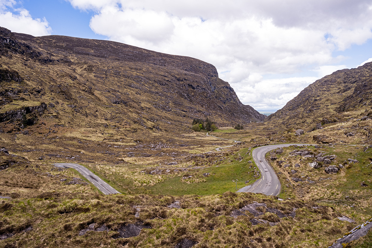 Man-made underground passage in Doonore SouthMan-made underground passage · 1250 yd
 KnockbegMountain / peak · 1255 yd
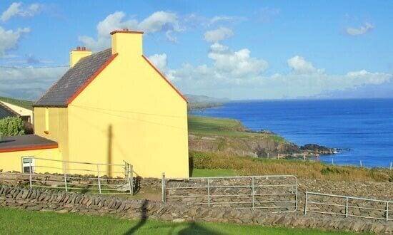 Hut site in Doonore SouthHut site · 1357 yd
 CorrinMountain / peak · 1.4 mi
 Church in Duagh (corkaguiny By.)Church · 2.2 mi
 Faisr's GraveArchaeological place · 2.5 mi
 Church in CurracullenaghChurch · 2.5 mi
 CastleCastle, unclassified · 2.6 mi
 Site of Camp CastleCastle, unclassified · 2.7 mi
 Graveyard in Baile An Chnocáin (tc An Cnoc Glas)Graveyard · 3.0 mi
 Glanteenassig Forest ParkForest · 4.0 mi
 Cromane PointHeadland · 4.2 mi