What is recorded here
Fairy fort in Skenakilla, County Cork: a circular earthen ringfort about thirty metres across, open to the east, now levelled into farmland but still marking a faint crop-shadow. It belonged to the ordinary business of living, perhaps a farmstead or shelter, yet local memory insists the fairies refused to leave empty land, so people stopped digging and called it theirs. The boundary between human history and fantasy collapses at once: the fort is both a house and a hoax, both measured and unavailable.
In tillage, on gentle S-facing slope. Depicted as hachured penannular rise (diam. c. 30m), open to E on 1935 OS 6-inch map. Levelled; low rise remains with concentration of stones scattered across surface. Circular enclosure visible as cropmark of fosse in aerial photograph (CASAP), possible entrance to E.
The above description is derived from the published 'Archaeological Inventory of County Cork. Volume 4: North Cork' (Dublin: Stationery Office, 2000). In certain instances the entries have been revised and updated in the light of recent research.
Date of upload/revision: 14 January 2009
The monument record does not grant public access. Check the route and ask the landowner before entering private land.
- What survives
- Recorded monument
Places near here
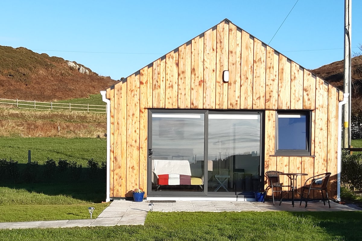 Enclosure in BallyhimockEnclosure · 288 yd
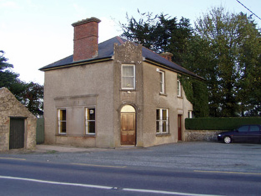 Griffin'shouse · 972 yd
 Fulacht fia in SkenakillaFulacht fia · 1309 yd
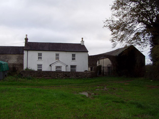 Home Farmfarmyard complex · 1.1 mi
 Anne's Grove GardensHeritage attraction · 1.7 mi
 Shanballymore Castle (Site of)Castle, unclassified · 1.7 mi
 Ruane Castle (Site of)Castle, unclassified · 2.4 mi
 Pedunculate OakPedunculate Oak · 3.0 mi
 Scots PineScots Pine · 3.3 mi
 Smith's WellSpring · 4.2 mi
 Flat cemetery in Ballyenahan NorthFlat cemetery · 5.0 mi
 Blackwater (Avondhu) WayWalking route · 5.1 mi