What is recorded here
Fairy forts and earthen ringforts mark ancient Irish landscapes. In Shanballymore Lower, a circular enclosure still holds the memory of human life, even when its name becomes a story. The land remembers the shape before people forget the hands that made it.
Within enclosure (CO018-11501-). Cropmark of levelled bank and external fosse of circular enclosure (diam. c. 25m) visible in aerial photograph (CASAP, July 1989).
The above description is derived from the published 'Archaeological Inventory of County Cork. Volume 4: North Cork' (Dublin: Stationery Office, 2000). In certain instances the entries have been revised and updated in the light of recent research.
Date of upload/revision: 14 January 2009
The monument record does not grant public access. Check the route and ask the landowner before entering private land.
- What survives
- Recorded monument
Places near here
 TumulusCairn, unclassified · 582 yd
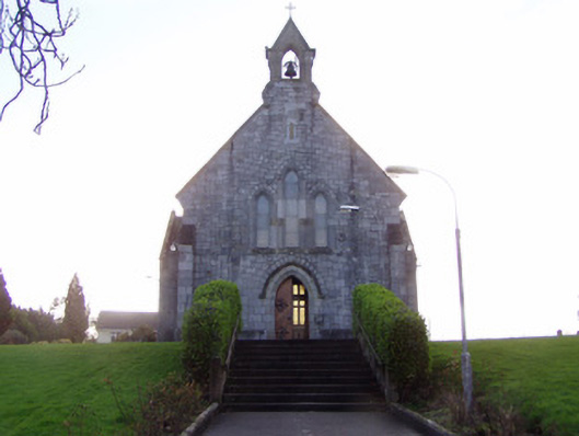 Church of Christ the Kingchurch/chapel · 612 yd
 IndicatedCastle, tower house · 809 yd
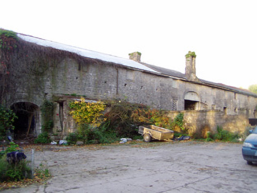 Shanballymore Housefarmyard complex · 856 yd
 Ruane Castle (Site of)Castle, unclassified · 937 yd
 Cist in Shanballymore UpperCist · 1045 yd
 Anne's Grove GardensHeritage attraction · 1.5 mi
 Horse Field WoodForest · 2.0 mi
 North Meadow WoodForest · 2.1 mi
 Flat cemetery in Ballyenahan NorthFlat cemetery · 2.8 mi
 Graveyard in BoherashGraveyard · 5.1 mi
 St Dominick's WellSpring · 5.1 mi