What is recorded here
Fairy forts are human ringforts misnamed by folklore, often built or reused from the Iron Age through the medieval period. In Seeola the earthwork sits on a drumlin ridge, preserving a broad flat platform and steep scarp although ploughing and growth have blurred its southern edge. People may have lived, hidden or marked territory there before the field changed shape around the remains. The fairies belong in the story told later, not in the function of the earth built by hands.
Located on the summit of a WNW-ESE drumlin ridge. It is depicted as an arc of hachures on the N side of a WNW-ESE field bank only on the 1907 edition of the OS 6-inch map. It survives as an overgrown platform (dims 19m E-W; c. 6m N-S) defined by a scarp (at NW: H 1.3m; at N: H 3m; at NE: H 0.8m) with no visible fosse N of the field bank. South of the field ban the scarp merges into the natural slope, although no clear limits can be identified here in ploughed ground.
The above description is derived from the published 'Archaeological Inventory of County Monaghan' (Dublin: Stationery Office, 1986). In certain instances the entries have been revised and updated in the light of recent research.
Date of revision: 29 August 2017
The monument record does not grant public access. Check the route and ask the landowner before entering private land.
- What survives
- Recorded monument
Places near here
 Lisinabragh fortFairy fort / earthen ringfort · 697 yd
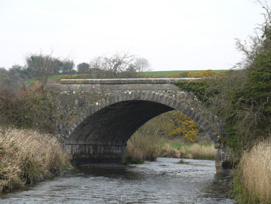 Fane River Bridgebridge · 842 yd
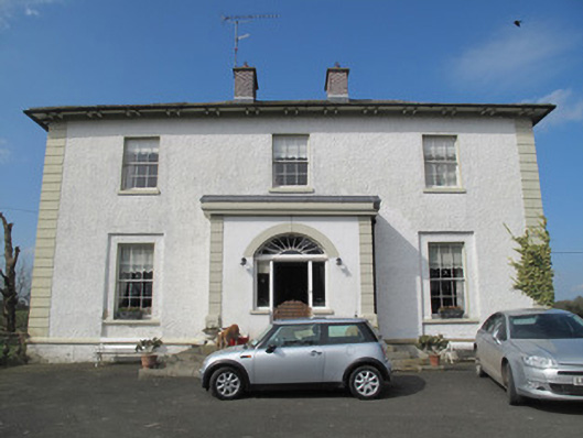 Glebe Houserectory/glebe/vicarage/curate's house · 880 yd
 Round TowerRound tower · 1055 yd
 CastleCastle, unclassified · 3.1 mi
 Mount AshCastle, motte · 3.5 mi
:no_upscale()/cdn.vox-cdn.com/uploads/chorus_asset/file/25593391/County_Louth_6th.jpg) LouthMountain / peak · 4.9 mi
LouthMountain / peak · 4.9 mi MEDIEVAL & POST-MED. CHURCH & GRAVEYARD in Creggan Bane GlebeMEDIEVAL & POST-MED. CHURCH & GRAVEYARD · 5.0 mi
 Ballsmill Amenity LandPicnic place · 5.0 mi
 KnockreaghMountain / peak · 5.1 mi
 Irish Hunger StrikersMemorial · 6.3 mi
 Mass Rock Loop TrailWalking route · 6.9 mi