What is recorded here
In improved undulating pasture, on a W-facing slope of a natural rise. Good views of Rock of Cashel to S. Circular area (diam. 26m) defined by bank (overall Wth 8.75m; Wth at top 1.75m; int. H 0.6m; ext. H 1.45m) of earth and stone, best defined (overall Wth 8.6m; Wth at top 1m; int. H 1.1m; ext. H 2.15m) SW-W. Breach (Wth 2.5m) at SSW and WNW. Fosse (overall Wth 9.7m; basal Wth 3.2m; D 0.7m) NW-SW. Possible low outer bank (overall Wth 5.75m; Wth at top 1.9m; int. H 0.7m; ext. H 0.18m) N-S and traceable at NW. Interior is level. Ardmayle-Cashel tertiary road (long axis NNW-SSE) to W.
Compiled by: Jean Farrelly
Date of upload: 26 August 2011
The monument record does not grant public access. Check the route and ask the landowner before entering private land.
- What survives
- Recorded monument
Places near here
 DuvcloyRoad, hollow-way · 1081 yd
 Enclosure in St. PatricksrockEnclosure · 1225 yd
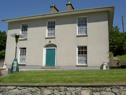 Alla Aileenhouse · 1305 yd
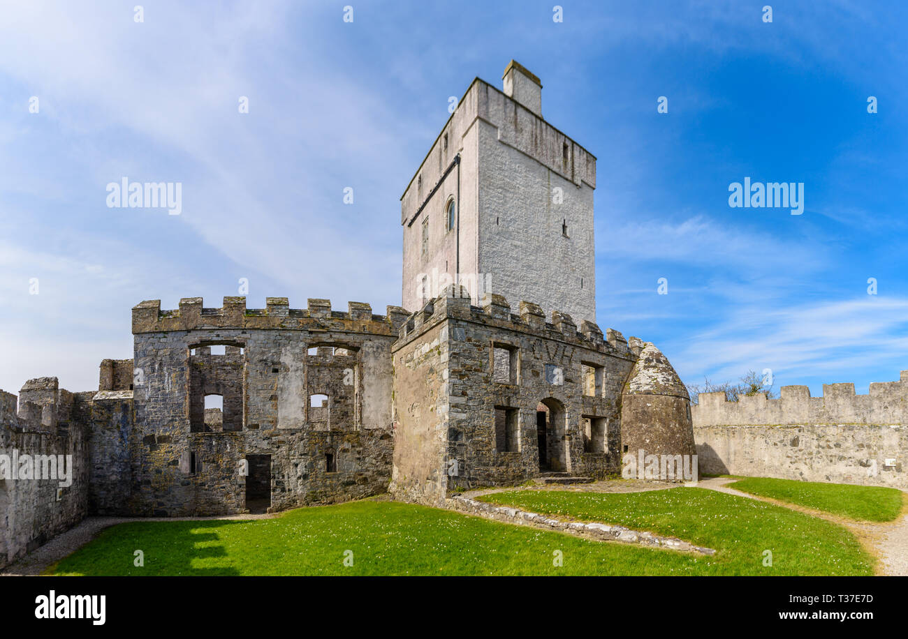 Cloigtheach (Round Tower)Round tower · 1452 yd
 Rock of CashelHeritage attraction · 1455 yd
 Cormac's ChapelHeritage attraction · 1488 yd
 The Rock Of CashelVisitor information · 1540 yd
 Black mulberryBlack mulberry · 1.0 mi
 Castle in RuinsHouse, fortified house · 1.1 mi
 Ballyknock HillMountain / peak · 1.1 mi
 Camus Castle (in ruins)Castle, unclassified · 1.6 mi
 European ashEuropean ash · 4.6 mi