What is recorded here
Situated on a slight in gently undulating pasture-land, with good views to the E and NE. A large sub-circular area (diam. 67m N-S; 63m E-W) enclosed by a fragmentary earthen bank which has been levelled at ENE and SW. The interior rises slightly towards the centre, with traces of cultivation ridges running NNE-SSW. A pathway is shown running across the SE quadrant of the monument on the 1837 ed. OS 6-inch map. A gap in the bank at NE and SW corresponds to the entrance and exit points of this pathway. Field fences which intersected the site at NE, E, SE and SW were levelled in 1987.
Compiled by: Frank Coyne & Caimin O'Brien
Date of upload: 26 January 2017
The monument record does not grant public access. Check the route and ask the landowner before entering private land.
- What survives
- Recorded monument
Places near here
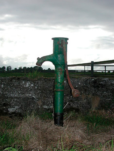 water pumpwater pump · 280 yd
 Ecclesiastical enclosure in RussaghEcclesiastical enclosure · 531 yd
 Church (in Ruins)Church · 534 yd
 CastleCastle, motte · 567 yd
 Partially indicatedFairy fort / earthen ringfort · 1119 yd
 Silver FirSilver Fir · 1.6 mi
 MoatCastle, motte and bailey · 1.7 mi
 Sweet ChestnutSweet Chestnut · 2.2 mi
 Edgeworthstown BypassMemorial · 4.6 mi
 Granard MotteMotte-and-bailey castle remains · 8.0 mi
 1798 Monumentmonument · 8.0 mi
 Bully's Acregraveyard/cemetery, unknown · 10 mi