What is recorded here
Fairy forts are often called raths or bogs forts and are thought to date to the Iron Age or medieval period. They are circular earthen or stone enclosures, sometimes with ditches or internal features. Local tradition holds that they belong to hidden or fairy peoples, which is why they are called fairy forts.
In tillage. Depicted as hachured circular enclosure (diam. c. 20m) on 1842 OS 6-inch map; hachured as circular area (diam. c. 38m) enclosed by fosse on 1905 and 1936 OS 6-inch maps. Levelled; no visible surface trace of site in ploughed field, but two pieces of iron slag found (pers. comm. J. Kiely). Bank visible as cropmark in aerial photograph (CASAP). Recorded by Bowman (1934, 16) as single-ramparted fort (diam. c. 46yd; bank H c. 4ft; fosse D c. 5ft) atop hill on D. Aherne's land; interior saucer-shaped and c. 2ft higher than surrounding field.
The above description is derived from the published 'Archaeological Inventory of County Cork. Volume 4: North Cork' (Dublin: Stationery Office, 2000). In certain instances the entries have been revised and updated in the light of recent research.
Date of upload/revision: 14 January 2009
The monument record does not grant public access. Check the route and ask the landowner before entering private land.
- What survives
- Recorded monument
Places near here
 Fulacht fia in KilmichaelFulacht fia · 684 yd
 Burnt spread in KilmichaelBurnt spread · 883 yd
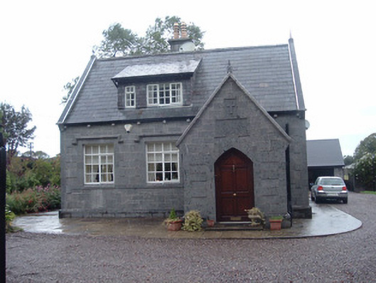 Longueville Schoolschool · 1001 yd
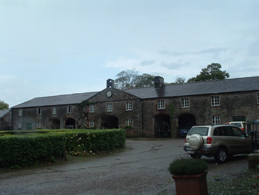 Longueville HouseLongueville Housefarmyard complex · 1346 yd
 CastleBawn · 1.3 mi
 Dromaneen CastleHeritage attraction · 1.5 mi
 Lohort CastleCastle, tower house · 2.1 mi
 Graveyard in Ballygiblin (duhallow By.)Graveyard · 3.1 mi
 In loving memory of Elvis O'DonoghueMemorial · 3.6 mi
 European YewEuropean Yew · 4.5 mi
 Burial ground in AssolasBurial ground · 4.8 mi
 Mount HillaryMountain / peak · 5.1 mi