What is recorded here
In pasture, on an ENE-facing slope with good views of surrounding landscape NE-E-ESE. Roughly circular area (dims. 26.5m N-S; 26.5m E-W), is defined by earthen bank (Wth 5.3m; int. H 0.6m; ext. H 2.1m) reduced to scarp in places, particularly along the slightly straightened edge ENE-E-ESE. Breach (Wth 3.5m) at S and breach (Wth 4.0m) at NW of which either could conceivably be the original entrance. External fosse (Wth 4.7m; D 0.4m) is visible in places, although is truncated by field boundary ENE-E-S-SSW and also by a quarry WSW-WNW. Possible outer bank (Wth 3.6m; int. H 1.0m; ext. H 0.6m) WNW-NNW. Possible motte (TS069-037----) and church and graveyard (TS069-036---- and TS069-036001-) c. 330m to SSW.
Compiled by: Jean Farrelly
Date of upload: 26 August 2011
The monument record does not grant public access. Check the route and ask the landowner before entering private land.
- What survives
- Recorded monument
Places near here
 Church (in ruins)Church · 447 yd
 Enclosure in Garryandrew NorthEnclosure · 525 yd
 Castle (Site of)Castle, unclassified · 743 yd
 Enclosure in RosegreenEnclosure · 798 yd
 CastleCastle, ringwork and bailey · 888 yd
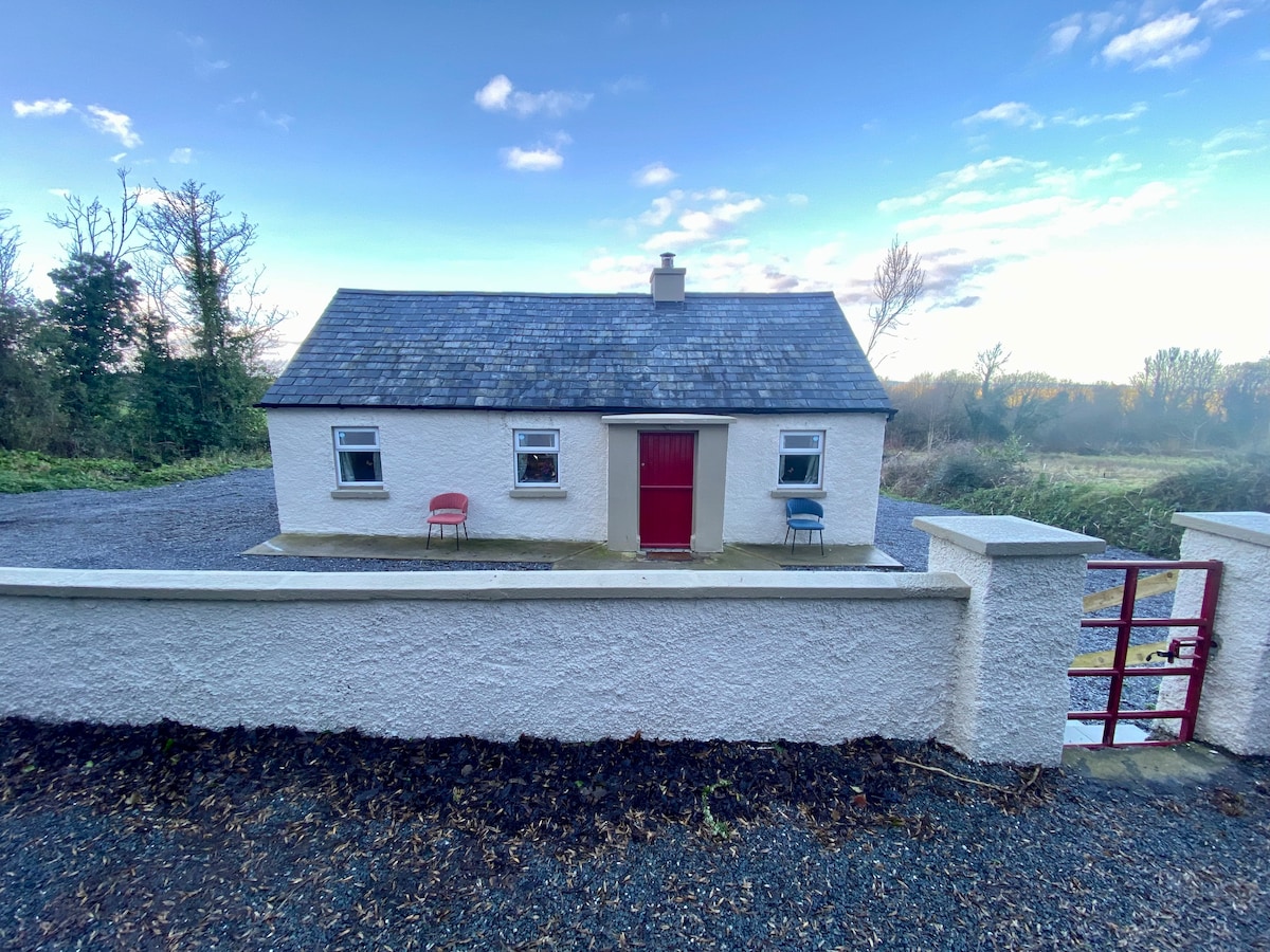
 Commons Cottagehouse · 1.2 mi
 Cashel Folk MusuemMuseum · 3.9 mi
 Black mulberryBlack mulberry · 3.9 mi
 The Rock Of CashelVisitor information · 4.0 mi
 Cormac's ChapelHeritage attraction · 4.0 mi
 Ballyknock HillMountain / peak · 4.4 mi
 Pedunculate OakPedunculate Oak · 5.7 mi