
What is recorded here
In low-lying, gently undulating pasture, 16m to ENE of ringwork (TS069-038002-). Identified during field inspection (30/01/2007). Semi-circular area (dims. 28m NNE-SSW; 10m ESE-WNW) defined by levelled bank (int. H 0.35m; ext. H 0.7m; Wth 8.8m). Incorporated into rest of field as pasture. Undulations to S may be possible earthworks.
Compiled by: Jean Farrelly
Date of upload: 20 May 2014
The monument record does not grant public access. Check the route and ask the landowner before entering private land.
- What survives
- Recorded monument
Places near here
 Castle (Site of)Castle, unclassified · 97 yd
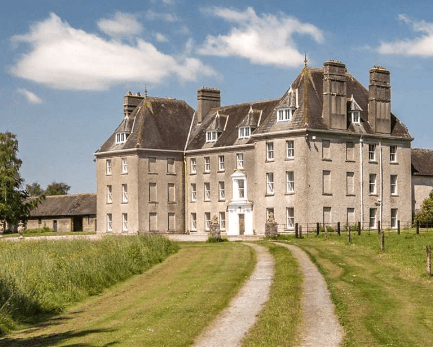 Enclosure in LowesgreenEnclosure · 607 yd
 CastleCastle, ringwork and bailey · 648 yd
 Church (in ruins)Church · 969 yd
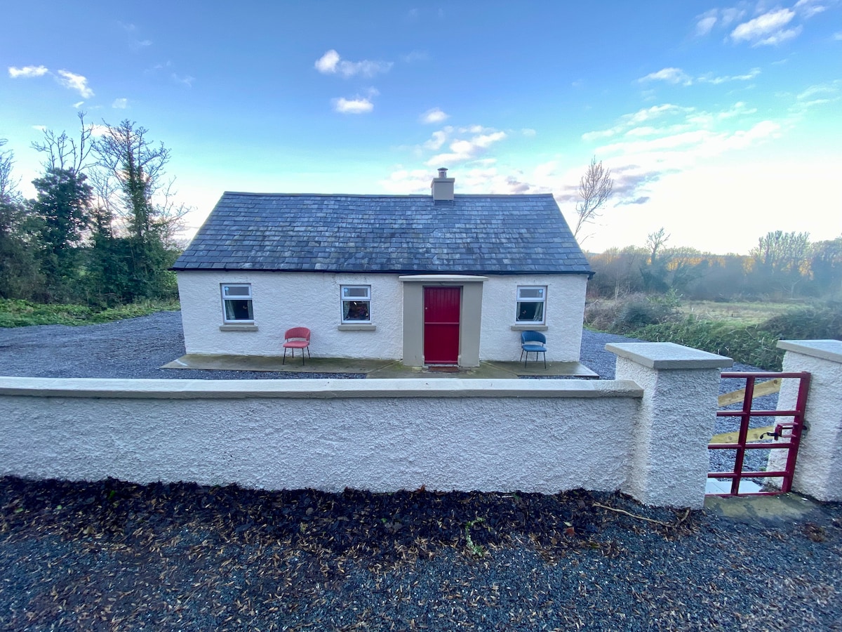 Enclosure in Garryandrew NorthEnclosure · 1277 yd
 Kilbragh Church (in ruins)Church · 1.2 mi
 Cashel Folk MusuemMuseum · 4.2 mi
 Black mulberryBlack mulberry · 4.3 mi
 The Rock Of CashelVisitor information · 4.4 mi
 Cormac's ChapelHeritage attraction · 4.4 mi
 Ballyknock HillMountain / peak · 4.7 mi
 Pedunculate OakPedunculate Oak · 5.4 mi
Other information
Photo: Credit not shown in the picture search · Rights wording not checked; contact us if this picture should be removed