
What is recorded here
On level ground, with land falling away to the N, in undulating terrain at the N end of the village of Rosegreen, within a graveyard (TS069-036001-). White (1892, 16) suggests that this was the parish church of Ballydoyle which in 1576 is described in a Presentment to the Grand Jury of the County as 'the Church of Temple Bally Dowle, is not kept according as it ought be, the church not built but standing in waste'. An undivided church (int. dims. c. 18m N-S; 7.6m E-W), aligned E-W, constructed of limestone rubble, roughly coursed. The church is in a very ruinous condition, only a length of the N (H 2.9m; L3.2m; T 0.92m) and S (H 2.35m; L 4.3m) wall survive upstanding, the NE angle survives approx. 3 courses high and the SE angle is gone. The E gable only survives as a grass-covered bank (H above ext. 0.95m; H above int. 0.72m). The W end of the church has largely collapsed, the sides walls are apparent as low stoney banks. A calvary has been built on the line of the W gable, the rubble from which appears to have been built up and levelled off to form a platform (H above ext. 1.09m; H above int. 0.33m) for the calvary. The main length of the external face of the upstanding S wall (Wth c. 0.87m) has been crudely repointed with a concrete mortar while the internal face has been robbed out. There is a lot of rubble E of both lengths of upstanding walling. The interior is very undulating and rises towards the E end. There are a number of headstones in the church interior, though the inscriptions are not legible they appear to be 18th/19th century in date. There are two table-top tombs in the interior, one at the E end and the other, bearing the date 1722, at the W end covers a vault. There is a graveslab (TS069-036002-) in the interior, partially embedded in the ground adjacent to the S wall near the E gable.
Compiled by: Jean Farrelly
Date of upload: 26 August 2011
The monument record does not grant public access. Check the route and ask the landowner before entering private land.
- What survives
- Recorded monument
Places near here
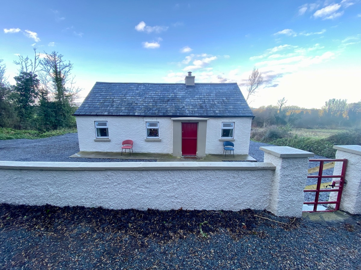 Enclosure in Garryandrew NorthEnclosure · 421 yd
 Castle (Site of)Castle, unclassified · 882 yd
 Enclosure in RosegreenEnclosure · 969 yd
 CastleCastle, ringwork and bailey · 1273 yd
 Commons Cottagehouse · 1.3 mi
 RoadRoad, hollow-way · 1.5 mi
 Cashel Folk MusuemMuseum · 4.0 mi
 Black mulberryBlack mulberry · 4.0 mi
 The Rock Of CashelVisitor information · 4.1 mi
 Cormac's ChapelHeritage attraction · 4.2 mi
 Ballyknock HillMountain / peak · 4.6 mi
 Pedunculate OakPedunculate Oak · 5.6 mi
Other information
Photo: Credit not shown in the picture search · Rights wording not checked; contact us if this picture should be removed