What is recorded here
Located at the crest of the SW-facing slope of a small hill. This is a subcircular grass-covered area (dims 47m NNW-SSE; 41m ENE-WSW) that slopes down to the W (H 1m). It is defined by an earthen bank (at ENE: Wth of base 8m; int. H 1.4m; ext. H 1.9m) and outer fosse (at ENE: Wth of top 9m; Wth of base 3m; ext. D 0.7m) NE-SE but the perimeter is reduced to a low bank (at WSW: Wth of base 4.5m; int. H 0.2m; ext. H 1.1m) W of a N-S field bank. The original entrance is not identified.
The above description is derived from the published 'Archaeological Inventory of County Meath' (Dublin: Stationery Office, 1987). In certain instances the entries have been revised and updated in the light of recent research.
Compiled by: Michael Moore
Date of revision: 26 February 2019
The monument record does not grant public access. Check the route and ask the landowner before entering private land.
- What survives
- Recorded monument
Places near here
 Mooney's CovertForest · 1202 yd
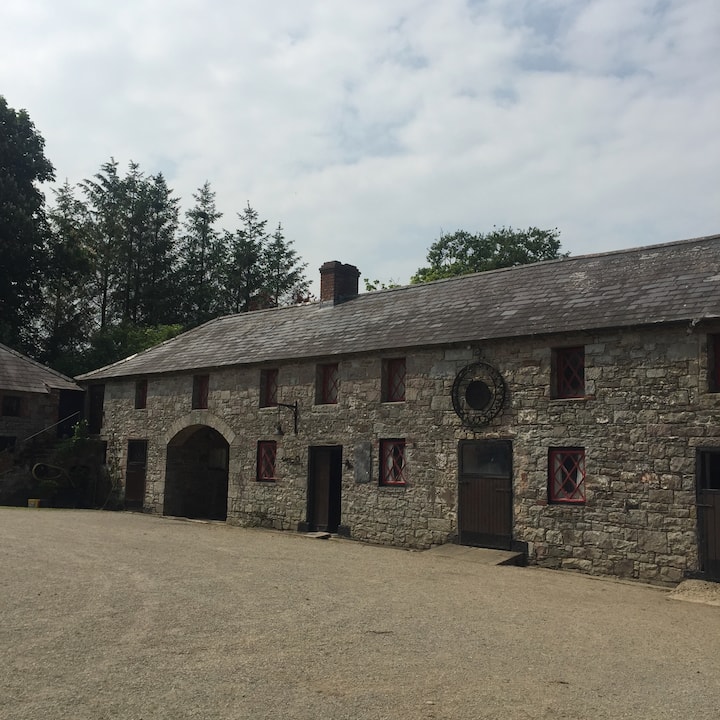 Casserly's WoodWood · 1373 yd
 Stone CrossCross, Wayside cross · 1649 yd
 CloncatMountain / peak · 1.1 mi
 IndicatedHoly well · 1.1 mi
 Round TowerCastle, tower house · 1.2 mi
 New Groveoutbuilding · 1.9 mi
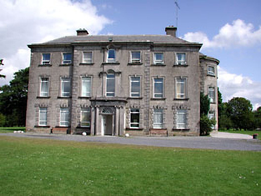 Drewstown Housecountry house · 2.0 mi
 BoglandMemorial · 2.1 mi
 Drewstown LittleMountain / peak · 2.3 mi
 CastleCastle, motte · 2.4 mi
 Causey FarmHeritage attraction · 2.7 mi