What is recorded here
On a low rise in pasture. Depicted as a circular enclosure with the designation 'Fort' on the 1837 ed. of the OS 6-inch map. A report in 1975 (SMR file) indicates that this slightly raised subcircular area (31.5m E-W; 27.5m N-S) was defined by two banks of earth and stone with an intermediate fosse. It is defined by a low scarp (H 0.2-0.5m). No visible surface trace of the fosse or outer bank survive.
Compiled by: Patrick F. O'Donovan
Date of upload: 18 January 2012
The monument record does not grant public access. Check the route and ask the landowner before entering private land.
- What survives
- Recorded monument
Places near here
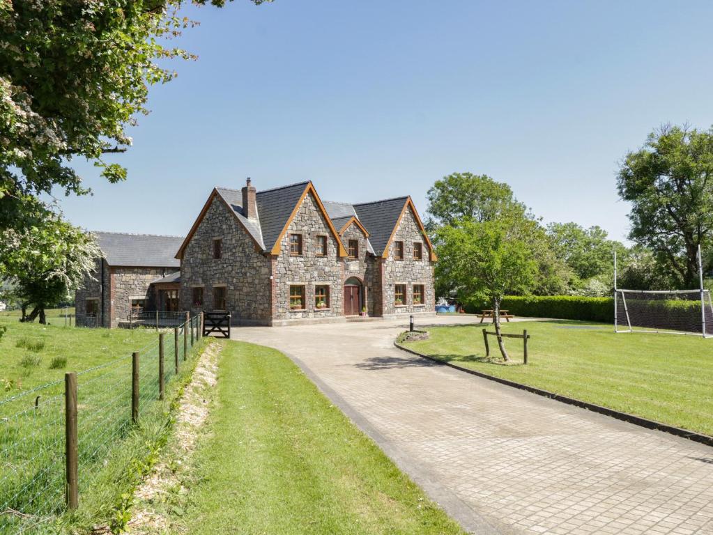 ToberreendoneyHoly well · 628 yd
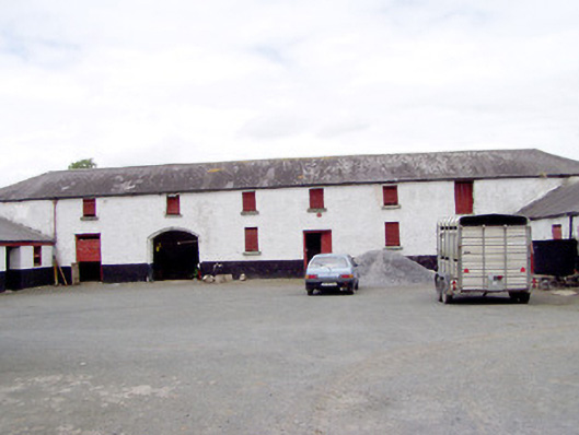 Toneen Lodgeoutbuilding · 822 yd
 Fairy fort / earthen ringfort in BallyboyFairy fort / earthen ringfort · 1085 yd
 Church in KilbrideChurch · 1315 yd
 Bakers FortCastle, ringwork · 1.9 mi
 Moat of GranardCastle, motte and bailey · 2.0 mi
 1798 Monumentmonument · 2.0 mi
 Granard MotteMotte-and-bailey castle remains · 2.0 mi
 CartronfreeMountain / peak · 3.9 mi
 CarrickabaneMountain / peak · 4.0 mi
 Watty's RocksIslet · 4.3 mi
 Sporting RockIslet · 4.5 mi