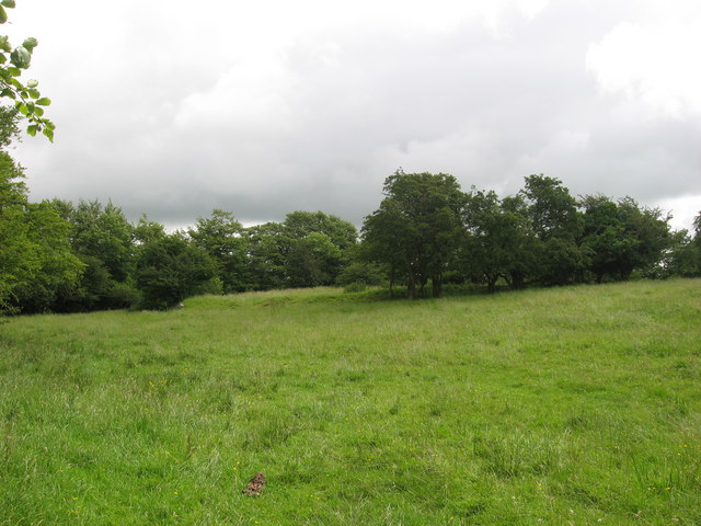
What is recorded here
Situated on NE facing slope of a natural hillock with stream immediately to NE. Well preserved bivallate ringfort consisting of a raised circular-shaped area (approx. diam. 28m N-S; 30m E-W) enclosed by two earthen banks with an intervening fosse. The inner bank is fragmentary and poorly preserved (Wth 4.8m; H 0.7m), the fosse is best preserved at SW (Wth 4.2m) and the outer bank is very low (Wth 2.7m; H 0.15m). There is an entrance gap (Wth 2.3m) and causeway across the fosse (Wth 3.1m; H 0.5m) at E. The interior rises slightly towards the centre. A linear earthen bank (Wth 1.9m; max. H 0.8m) runs across the NW quadrant towards the centre, where it intersects a rectangular hut site (WM013-085001-) and a possible second circular hut site (WM013-085002-).
See attached profile of monument surveyed and drawn by the ASI.
Compiled by: Frank Coyne and Caimin O'Brien
Date of upload: 24 July 2018
The monument record does not grant public access. Check the route and ask the landowner before entering private land.
- What survives
- Recorded monument
Places near here
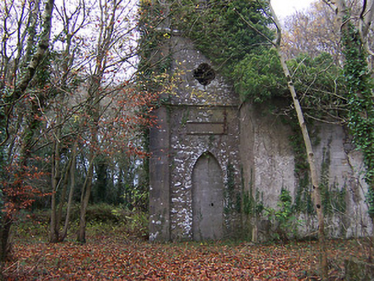 Church of Saint John the Baptist (Rathconnell)church/chapel · 323 yd
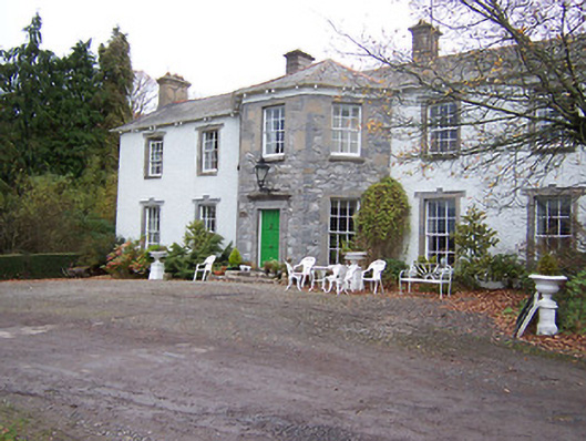 Reynella Housecountry house · 649 yd
 GinkgoGinkgo · 807 yd
 Hut site in Balrath North (moyashel & Magheradernon By.)Hut site · 825 yd
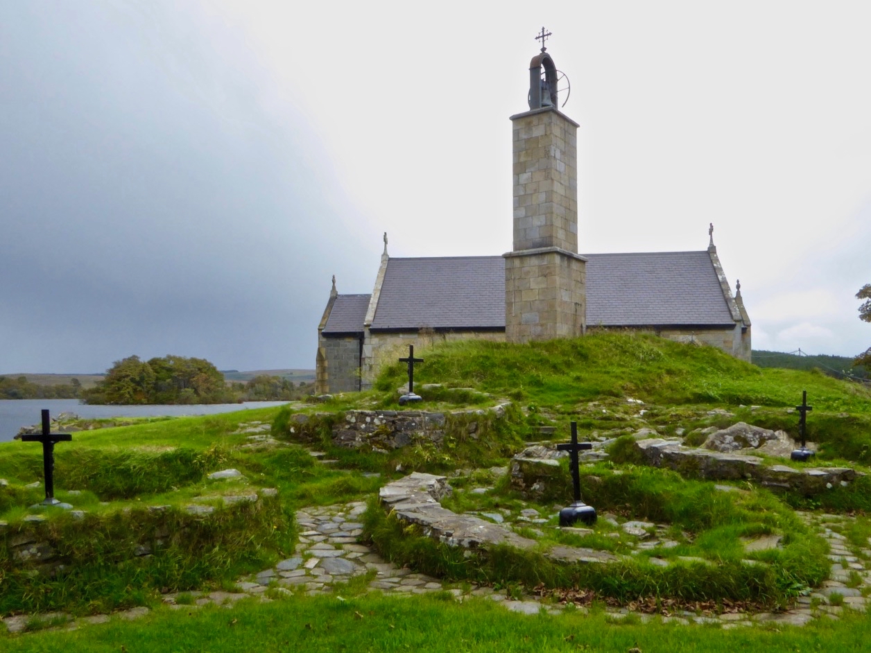 Partially hachuredEnclosure · 1099 yd
 OutlinedCastle, unclassified · 1438 yd
 Bawn in Williamstown (briscoe)Bawn · 1.1 mi
 The FurzeForest · 5.5 mi
 Kells HillMountain / peak · 8.4 mi
 Seafin HillMountain / peak · 8.8 mi
 Croppies' GraveMemorial · 12 mi
 Ecclesiastical enclosure in CrosserdreeEcclesiastical enclosure · 1316 yd
Other information
Photo: Kieran Campbell · Creative Commons Attribution-ShareAlike 2.0