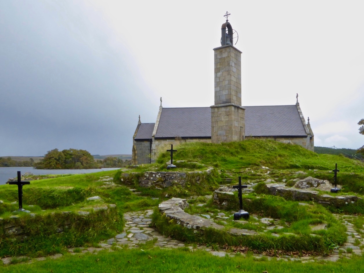
What is recorded here
Circular-shaped enclosure (approx. diam. 26m E-W) depicted on 1838 ed. OS 6-inch map which is partially hachured as a small hollow depression or quarry on subsequent editions of the OS 6-inch maps. Cropmark of enclosure partially visible from SE-S-SW on digital globe aerial photograph.
Compiled by: Caimin O'Brien
Date of upload: 24 July 2018
The monument record does not grant public access. Check the route and ask the landowner before entering private land.
- What survives
- Recorded monument
Places near here
 Partially hachuredFairy fort / earthen ringfort · 217 yd
 Saint Joseph's Catholic Churchchurch/chapel · 513 yd
 Hut site in Balrath North (moyashel & Magheradernon By.)Hut site · 700 yd
 Chapel in ruinsChapel · 843 yd
 OutlinedCastle, unclassified · 1.0 mi
 GinkgoGinkgo · 1.0 mi
 CastleCastle, ringwork · 1.5 mi
 KnockeyonMountain / peak · 6.0 mi
 The FurzeForest · 6.0 mi
 Kells HillMountain / peak · 8.9 mi
 Croppies' GraveMemorial · 12 mi
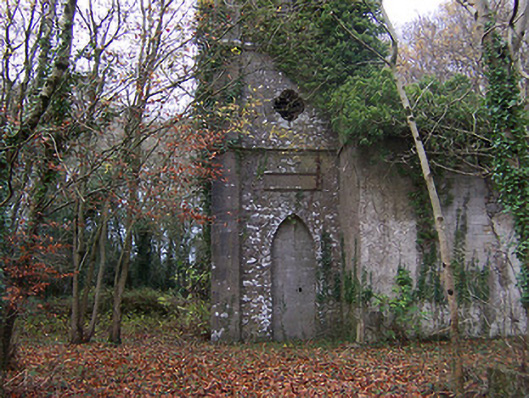 Church of Saint John the Baptist (Rathconnell)church/chapel · 1093 yd
Other information
Photo: Credit not shown in the picture search · Rights wording not checked; contact us if this picture should be removed