
What is recorded here
Situated on the W face of a slight natural rise in undulating grassland. Remains consist of a raised sub-circular shaped area (approx. diam. 42m NW-SE; 47m NE-SW) enclosed by a poorly preserved earthen bank and a wide, shallow external fosse. The bank has been reduced to a scarp from NE-SE. Traces of cultivation ridges are visible running ENE-WSW across the interior. A field fence intersects the perimeter of the monument from WNW-NE.
See attached profile of monument surveyed and drawn by the ASI.
Compiled by: Frank Coyne and Caimin O'Brien
Date of upload: 24 July 2018
The monument record does not grant public access. Check the route and ask the landowner before entering private land.
- What survives
- Recorded monument
Places near here
 Saint Joseph's Catholic Churchchurch/chapel · 473 yd
 Chapel in ruinsChapel · 804 yd
 Hut site in Balrath North (moyashel & Magheradernon By.)Hut site · 899 yd
 Enclosure in ClonlostEnclosure · 1012 yd
 GinkgoGinkgo · 1.1 mi
 OutlinedCastle, unclassified · 1.1 mi
 CastleCastle, ringwork · 1.4 mi
 KnockeyonMountain / peak · 6.0 mi
 The FurzeForest · 6.1 mi
 Kells HillMountain / peak · 9.0 mi
 Croppies' GraveMemorial · 12 mi
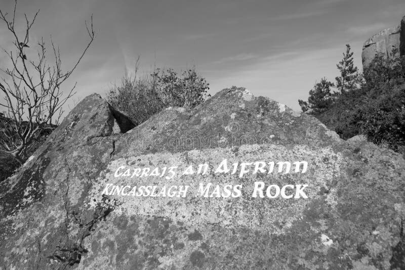 Mass-rock in TevrinMass-rock · 1069 yd
Other information
Photo: Credit not shown in the picture search · Rights wording not checked; contact us if this picture should be removed