What is recorded here
Fairy fort / earthen ringfort in Rathreagh stands on high flat ground above a river valley in County Kilkenny, Ireland. Its thirty-metre circular yard, narrow earthen bank and shallow outer ditch still mark a small defended or ceremonial place overlooking the western valley. People may have lived, gathered or performed rituals there before the field around it became farmed, while the rough vegetation and preserved western bank keep the shape visible today.
On the edge of high flat ground above a river valley in rolling grassland. There are good views from this monument, especially over the valley to the W. A circular area (int. diam. 30m) enclosed by an earthen bank (Wth c. 2m; int. H 0.2m; ext. H 1.2m) and external fosse (Wth c. 4m; D c. 0.2-0.3m) which is best preserved at W and elsewhere is evident as a wide band of rough vegetation. There is an original entrance (Wth c. 2.5m) at SW. On Digitalglobe imagery (viewed 27 September 2017) the monument has a roughly square (dims. c. 40-44m) buffer area around it and the surrounding field is under tillage.
Compiled by: Jean Farrelly
Date of upload: 27 September 2017
The monument record does not grant public access. Check the route and ask the landowner before entering private land.
- What survives
- Recorded monument
Places near here
 IndicatedHoly well · 612 yd
 Cnoc SeanrathaMemorial · 1015 yd
 Enclosure in RathreaghEnclosure · 1190 yd
 Erke Churchchurch/chapel · 1216 yd
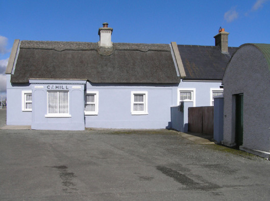 Cahillhouse · 1228 yd
 Cody's CastleCastle · 1.3 mi
 Grangefertagh Castle (site)Archaeological place · 1.4 mi
 Street fieldArchaeological place · 2.8 mi
 DelaneyMemorial · 3.2 mi
 Clomantagh HillMountain / peak · 4.8 mi
 Clonmeen WoodWood · 5.2 mi
 St. Mary's Famine and War MuseumMuseum · 12 mi