What is recorded here
Situated on low-lying ground in gently undulating terrain. Oval area (c. 45m NW-SE; c. 40m NE-SW) defined by an earthen bank. The site appears to have been levelled in 1973; visible on aerial photographs (GSIAP, N 354-5). Not visible at ground level.
The above description is derived from the published 'Archaeological Inventory of County Wicklow' (Dublin: Stationery Office, 1997). In certain instances the entries have been revised and updated in the light of recent research.
Date of upload/revision: 17 December 2008
The monument record does not grant public access. Check the route and ask the landowner before entering private land.
- What survives
- Recorded monument
Places near here
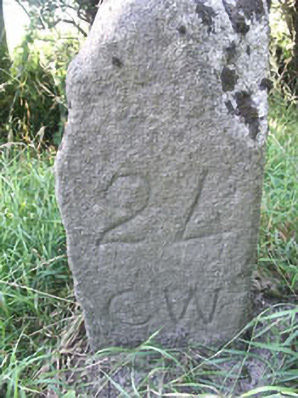 milestone/milepostmilestone/milepost · 570 yd
 Enclosure in DragoonhillEnclosure · 771 yd
 The Pipers StonesStone circle · 1244 yd
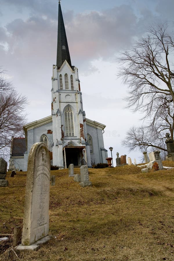 Church (in Ruins), Grave YardChurch · 1259 yd
 Burial ground in CrehelpBurial ground · 1548 yd
 Saint Kevin's CaveMemorial · 1596 yd
 Castle BankCastle, motte and bailey · 1735 yd
 European YewEuropean Yew · 1.1 mi
 Hollywood SignHeritage attraction · 1.1 mi
 English hollyEnglish holly · 2.0 mi
 Church MountainMountain / peak · 2.3 mi
 Castle in ruinsCastle, unclassified · 2.6 mi