What is recorded here
Situated on a hillock. A circular embanked enclosure is depicted only on the 1912 edition of the OS 6-inch map within a small wood. A small fragment of an earthen bank (Wth of base 2.8m; int. H c. 0.8m; ext. H 1.3m) and an outer fosse (Wth of base 1.4m; ext. D 0.5m) at the NW edge of an enclosure survived in 1968 (SRM file), the rest having been quarried away (O’Connell 1958, 17). It is absorbed within a farm complex since 2000 (OSAP).
The above description is derived from the published 'Archaeological Inventory of County Meath' (Dublin: Stationery Office, 1987). In certain instances the entries have been revised and updated in the light of recent research.
Compiled by: Michael Moore
Date of revision: 22 February 2019
The monument record does not grant public access. Check the route and ask the landowner before entering private land.
- What survives
- Recorded monument
Places near here
 Feegat ForestWood · 1110 yd
 Woodpole Fox CovertWood · 1.0 mi
 FortsCastle, motte and bailey · 1.2 mi
 Mote of DerverArchaeological place · 1.2 mi
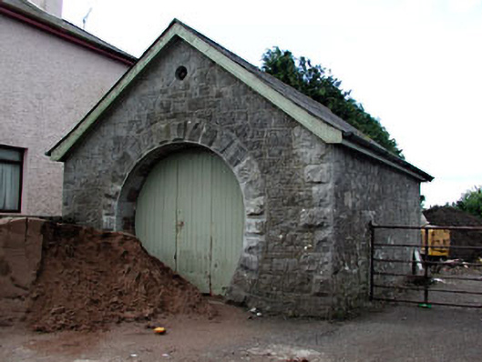 forge/smithyforge/smithy · 1.2 mi
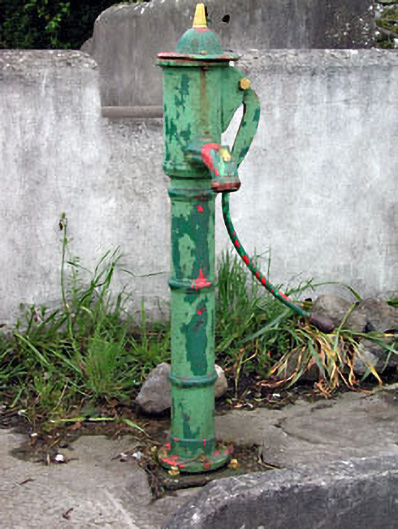 water pumpwater pump · 1.3 mi
 TobernacallyHoly well · 1.5 mi
 MaperathMountain / peak · 1.8 mi
 MoatCastle, motte and bailey · 1.9 mi
 MountainpoleMountain / peak · 3.0 mi
 The Kieran Flanagan WayMemorial · 3.5 mi
 Great Famine ProjectMemorial · 3.5 mi