What is recorded here
Situated on a gentle to marked SE-facing slope in rough upland grazing, now under forestry. D-shaped area (dims. 31m NE-SW; 28.5m NW-SE) defined by an earth and stone bank (Wth 2.5m; H 0.5-1.3m) with straight sides at SW and NW where the bank is incorporated into the adjacent field boundaries. Slight evidence for a fosse (Wth 1.8m) at the W and E. This may be masked by a sunken trackway at the SW. There are three gaps, at the N, NNW and SE; the SE gap (Wth 3m) opens out onto a narrow berm with the fosse beyond. There is no indication as to which is the original entrance.
The above description is derived from the published 'Archaeological Inventory of County Wicklow' (Dublin: Stationery Office, 1997). In certain instances the entries have been revised and updated in the light of recent research.
Date of upload/revision: 17 December 2008
The monument record does not grant public access. Check the route and ask the landowner before entering private land.
- What survives
- Recorded monument
Places near here
 Font in BalislandFont · 1525 yd
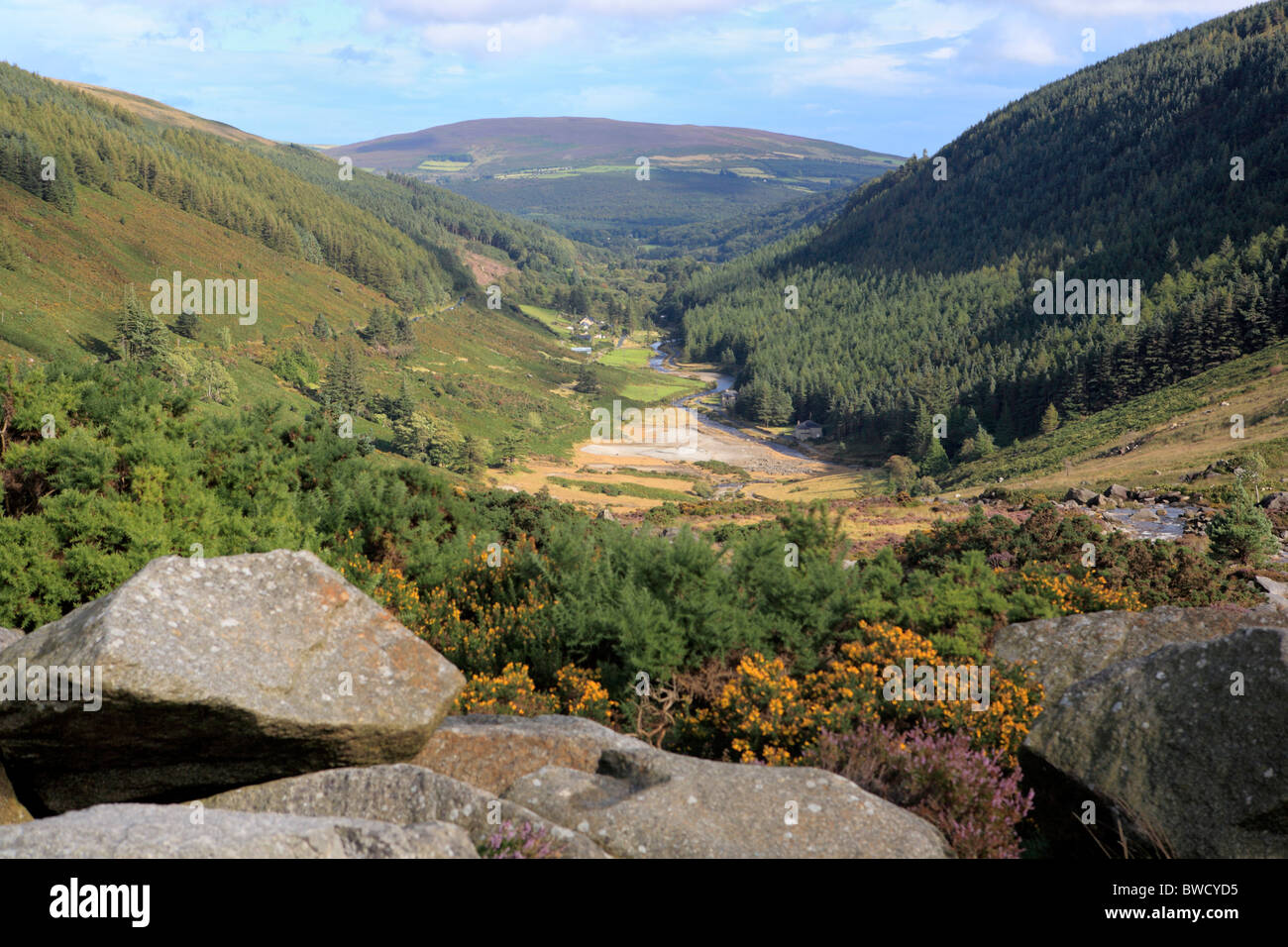 Enclosure in MungacullinEnclosure · 1539 yd
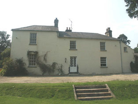 The Old Rectoryrectory/glebe/vicarage/curate's house · 1.4 mi
 Site of Fever HospitalRuins · 1.4 mi
 Cork oakCork oak · 1.7 mi
 Ballyknocker WoodWood · 1.8 mi
 Ballynultagh HillMountain / peak · 2.6 mi
 Clonogan Castle (site of)Castle, unclassified · 4.1 mi
 Church (in ruins), GraveyardChurch · 5.0 mi
 Huntington Castle & GardensHeritage attraction · 5.0 mi
 CastleCastle, motte and bailey · 5.3 mi
 Barragh Church (in ruins), GraveyardChurch · 6.4 mi