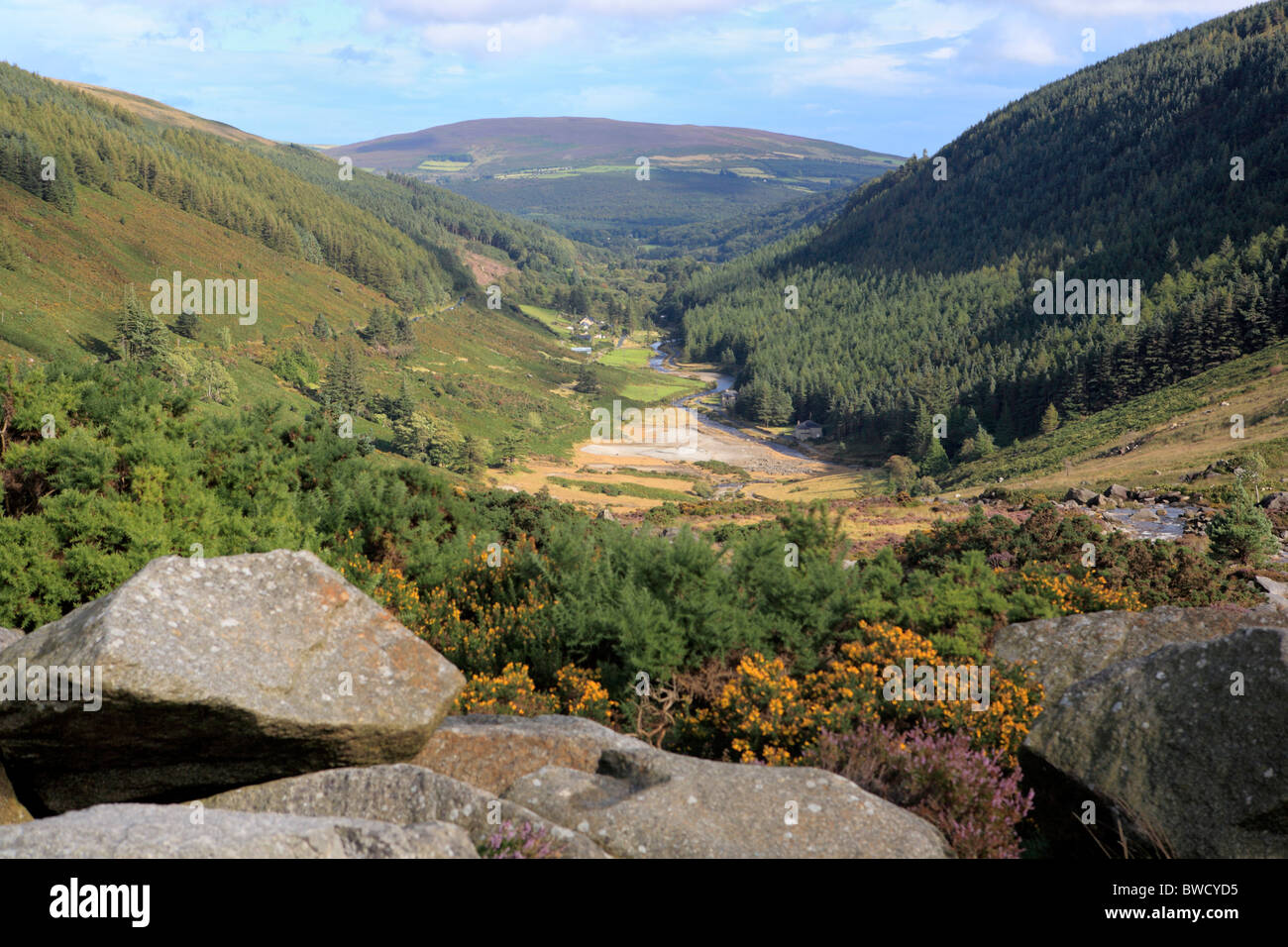
What is recorded here
On gentle N facing slope in pasture. Indicated on the 1st ed. 6-inch OS map as a triangular enclosure (dims. c. 64m NE-SW; c. 52m NW-SE). Not visible at ground level.
Compiled by: Jean Farrelly
Date of upload: 02 October 2012
The monument record does not grant public access. Check the route and ask the landowner before entering private land.
- What survives
- Recorded monument
Places near here
 St. Martins WellHoly well · 1375 yd
 Enclosure in Boley (shillelagh By.)Enclosure · 1729 yd
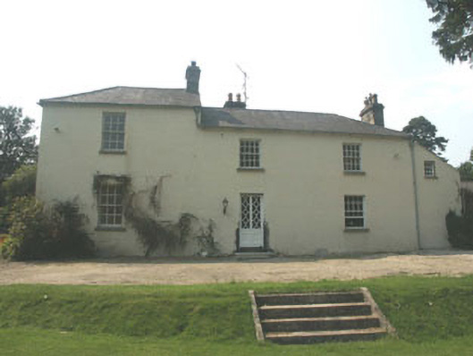 The Old Rectoryrectory/glebe/vicarage/curate's house · 1.3 mi
 Site of Fever HospitalRuins · 1.5 mi
 Cork oakCork oak · 1.6 mi
 Ballynultagh HillMountain / peak · 1.9 mi
 European ashEuropean ash · 2.1 mi
 Church (in ruins), GraveyardChurch · 4.2 mi
 Clonmore MoatCastle, motte and bailey · 4.6 mi
 Clonmore Castle (in Ruins)Castle, Anglo-Norman masonry castle · 4.6 mi
 Huntington Castle & GardensHeritage attraction · 5.8 mi
 Gibbet HillMountain / peak · 6.0 mi
Other information
Photo: Credit not shown in the picture search · Rights wording not checked; contact us if this picture should be removed