What is recorded here
Mutton grass and blackthorn hold the last shape of the fort. A man may have lived there, watched the valley and left nothing but a shallow arc of earth. The fairies took the rest. They prefer places where human pride has already thinned to nothing. What remains is a bowl wide enough for doubt, and sharp enough to remember.
In pasture, on E-facing slope. Roughly circular area (diam. c. 25.9m) defined by arc of earthen bank (H 0.75m); undulations NE->SE; rough growth of briars probably on line of levelled bank SE->NW.
The above description is derived from the published 'Archaeological Inventory of County Cork. Volume 2: East and South Cork' (Dublin: Stationery Office, 1994). In certain instances the entries have been revised and updated in the light of recent research.
Date of upload/revision: 14 January 2009
The monument record does not grant public access. Check the route and ask the landowner before entering private land.
- What survives
- Recorded monument
Places near here
 Enclosure in RaheeneringEnclosure · 384 yd
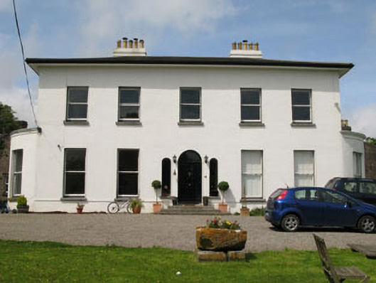 Raffeen Housecountry house · 1006 yd
 sign postsign post · 1546 yd
 IndicatedFairy fort / earthen ringfort · 1722 yd
 Pauper's GraveyardArchaeological place · 1.6 mi
 Cogan's CastleCastle · 1.9 mi
 Mulcon ValleyWood · 2.3 mi
 Passage West Maritime MuseumMuseum · 2.6 mi
 Ballea CastleCastle, tower house · 2.6 mi
 Cork WalksVisitor information · 5.4 mi
 Lavitts QuayMemorial · 5.6 mi
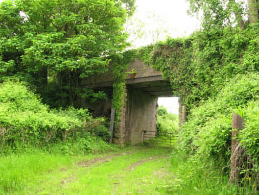 Ballyhemiken Bridgebridge · 1.1 mi