What is recorded here
Situated on a slight natural rise in gently undulating grassland. Ringfort (WM016-008----) lies 260m to W. The faint outline of a levelled ringfort is visible on Digital Globe aerial photograph. Upstanding monument described in 1978 as a large sub-circular shaped area (approx. diam. 58m N-S; 52m E-W) enclosed by a low, poorly preserved earthen bank with slight traces of an external fosse. Traces of cultivation ridges are visible running NE-SW across the interior of the monument, which rises slightly towards the centre. A field fence running NE-SW intersects the NW perimeter of the site.
Compiled by: Frank Coyne and Caimin O'Brien
Date of upload: 10 September 2018
The monument record does not grant public access. Check the route and ask the landowner before entering private land.
- What survives
- Recorded monument
Places near here
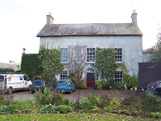 Noughaval Househouse · 733 yd
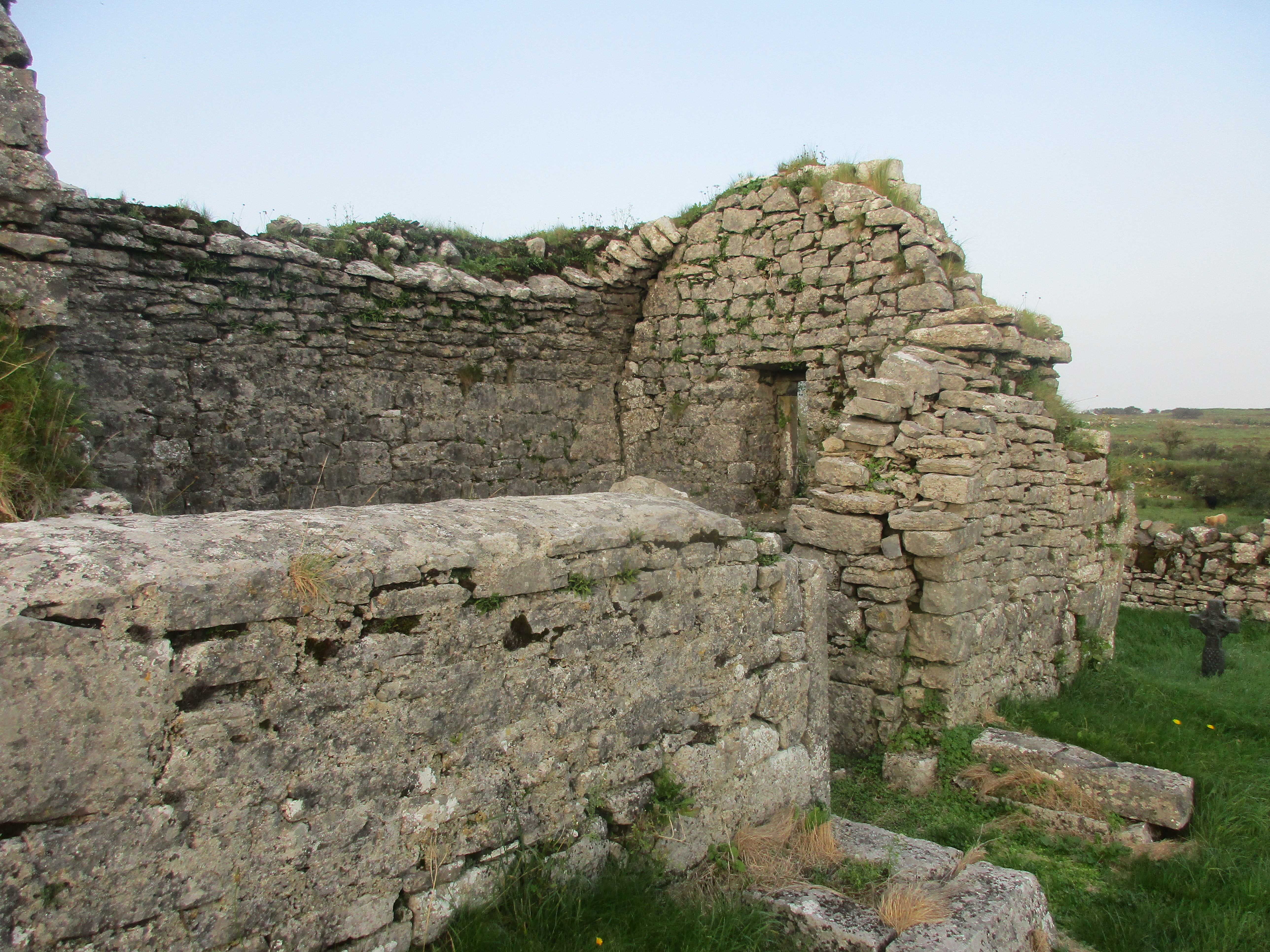 Partially hachuredFairy fort / earthen ringfort · 822 yd
 Ecclesiastical enclosure in NoughavalEcclesiastical enclosure · 823 yd
 Noughaval CemeteryArchaeological place · 840 yd
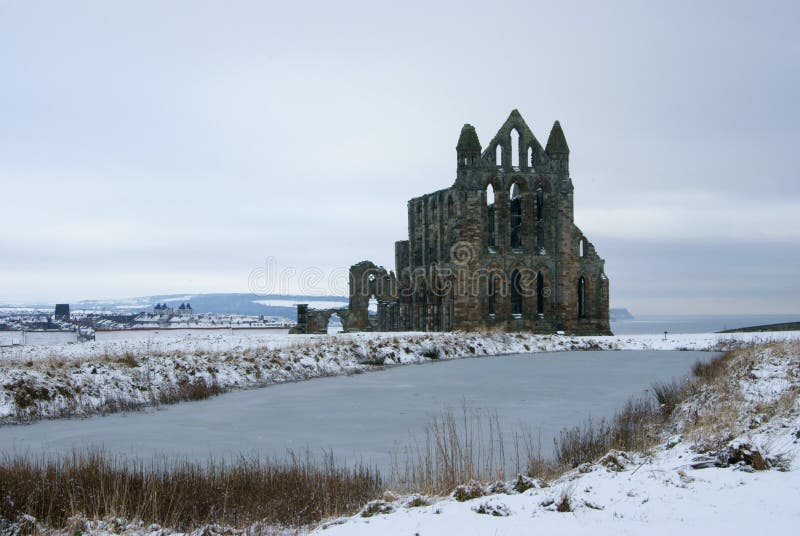 AbbeyReligious house, Carmelite friars · 1343 yd
 European BeechEuropean Beech · 1.2 mi
 Ballymulvey Ho.Castle, unclassified · 2.6 mi
 Bawn in Cannorstown (hogan)Bawn · 2.7 mi
 Target WoodWood · 3.1 mi
 Guest ServicesVisitor information · 3.3 mi
 Newcastle WoodsForest · 3.3 mi
 Craft WorkshopHeritage attraction · 3.3 mi