What is recorded here
On low rise of grassland with good views in all directions. Road intersects outer bank at N on an E-W axis. Bivallate ringfort consists of a raised circular platform (diam. c. 23m N-S; 6m E-W; overall diam. 50m E-W) defined by a scarp (H 2m), fosse (base Wth 4-2m; top Wth 6m; ext. D 1.5m) and external bank (base Wth 3m; top Wth 1.2m; ext. H1.5m). The SW quadrant has been quarried away leaving a hollow depression (dims. 25m N-S; 15m E-W; D 2m) where the platform and the enclosing elements were located. External bank is best preserved from N through E to SE. At SE to SSW the bank has been levelled and the fosse has been filled in and from SSW through W to NW the enclosing elements have been quarried away. Evidence of cattle poaching damage to bank at NE and the external face of the platform at N. No clear entrance feature visible. Platform was originally enclosed by a bank which has now been reduced to a scarp. Fair to poor condition situated in a reclaimed field of grassland.
Compiled by: Jean Farrelly
Date of upload: 26 August 2011
The monument record does not grant public access. Check the route and ask the landowner before entering private land.
- What survives
- Recorded monument
Places near here
 Noan Housegate lodge · 167 yd
 Noan WoodWood · 1001 yd
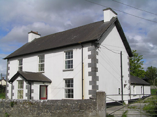 Ballinure Garda Síochána Stationgarda station/constabulary barracks · 1030 yd
 Hilltop enclosure in Ballaghboy (graystown Par.)Hilltop enclosure · 1379 yd
 IndicatedFairy fort / earthen ringfort · 1494 yd
 Taylor's WoodWood · 1.2 mi
 Ballinure HillMountain / peak · 1.4 mi
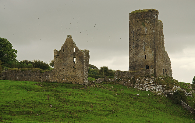 Bawn in GraystownBawn · 1.6 mi
 Castle (in ruins)Castle, tower house · 1.6 mi
 Gobban Saer's GraveArchaeological place · 2.3 mi
 Horse and JockeyVisitor information · 3.1 mi
 Slieveardagh Heritage CentreVisitor information · 3.4 mi