What is recorded here
Mullanavannog held a true earthen ringfort on a drumlin ridge in County Monaghan, but people removed it in the early 1980s. It vanished into improved pasture, depriving later seekers of the shape that once marked the land. The loss is not academic; it is a wound in local memory.
Situated just W of the N summit of a N-S drumlin ridge. Although it is not recorded on any map a rath at Mullanavannog is mentioned in the IFC Schools’ MSS (953) 313-4: https://www.duchas.ie/en/cbes ) and the location was known locally, although it had been removed in the early 1980s. No archaeological feature is visible now in improved pasture.
The above description is derived from the published 'Archaeological Inventory of County Monaghan' (Dublin: Stationery Office, 1986). In certain instances the entries have been revised and updated in the light of recent research.
Compiled by: Michael Moore
Date of revision: 22 February 2018
The monument record does not grant public access. Check the route and ask the landowner before entering private land.
- What survives
- Recorded monument
Places near here
 1Archaeological place · 459 yd
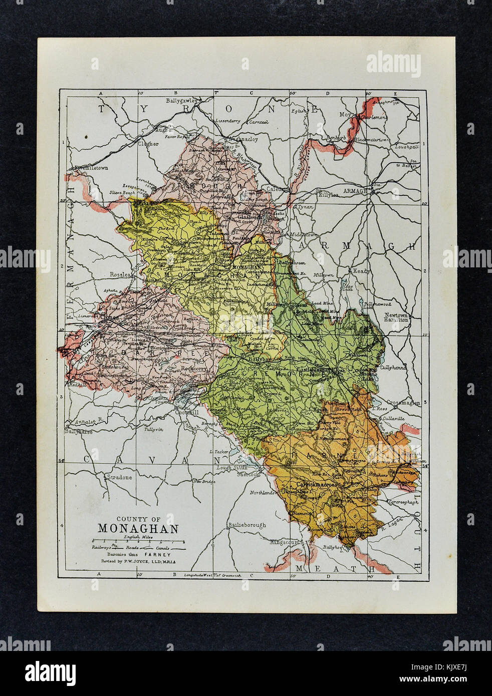 2Archaeological place · 467 yd
 Church in Mullanacross (monaghan By.)Church · 952 yd
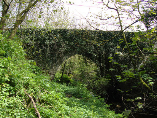 Drumsnat Bridgebridge · 1057 yd
 Rough HillMountain / peak · 2.0 mi
 Hazel WoodWood · 2.1 mi
 Dagda's CauldronHeritage attraction · 2.4 mi
 Giant Redwood (1862)Heritage attraction · 2.5 mi
 Lisarrilly HillMountain / peak · 2.8 mi
 Roosky Castle (Site of)Castle, ringwork · 3.1 mi
 Jaundice WellSpring · 3.8 mi
 Bawn in Roosky (monaghan By., Monaghan Par.)Bawn · 4.4 mi