What is recorded here
Mullaghavorneen held a subtriangular earthen ringfort with a 41-metre span until machinery erased it in 1974. The lost bank once rose 2.5 metres above a SW-facing slope, enclosing a space large enough for human ambition or fairy mischief. Its southern edge still hints at a buried fosse and outer bank, preserving the shape of a fort that no longer exists.
On a SW-facing slope on low-lying ground. Depicted as a circular enclosure with the designation 'Fort' on the 1837 ed. of the OS 6-inch map and as a subtriangular enclosure on the 1914 ed. The monument was levelled in 1974. However, its subtriangular plan (NW-SE c. 41m; E-W 40m) was indicated by the outline of the enclosing bank (Wth c. 2.5m). Traces of an intervening fosse and outer bank were evident at S.
Compiled by: Patrick F. O'Donovan
Date of upload: 24 February 2012
The monument record does not grant public access. Check the route and ask the landowner before entering private land.
- What survives
- Recorded monument
Places near here
 Burnt spread in MullaghavorneenBurnt spread · 376 yd
 IndicatedFairy fort / earthen ringfort · 577 yd
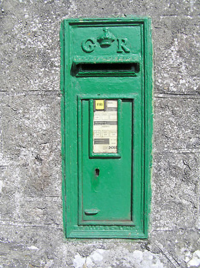 post boxpost box · 758 yd
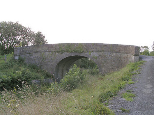 Knockanboy Bridgebridge · 1131 yd
 First World War MemorialMemorial · 1.3 mi
 Graveyard in Curry (ardagh By., Coolamber Ed)Graveyard · 1.4 mi
 Saint Mel's CathedralCathedral · 1.5 mi
 Bawn in AbbeycartronBawn · 1.6 mi
 CastleCastle, tower house · 2.5 mi
 Commons North WalkVisitor information · 7.8 mi
 Wild birdsVisitor information · 7.9 mi
 White Sand WoodWood · 8.2 mi