What is recorded here
On a slight rise in gently undulating pasture on slight S-facing slope. Oval-shaped, slightly raised area (dims. 24m N-S; 20m E-W) defined by an internal earth and stone bank (Wth 3.45m; int. H 0.45m; ext. H 0.5m). At the external base of the bank is a berm (Wth 3.7-4m). Immediately outside the berm are a fosse (Wth 4.4m) and an external earth and stone bank (Wth 4.7m; int. H 1.6m; ext. H 1.5-1.9 m). An ENE-WSW orientated drystone field wall lies along the top of the outer bank from SSE-S-SSW. A possible Man-made underground passage (SL005-011002-) is located on the SW side of the interior.
Compiled by: Patrick F. O'Donovan
Date of upload: 21 April 2011
The monument record does not grant public access. Check the route and ask the landowner before entering private land.
- What survives
- Recorded monument
Places near here
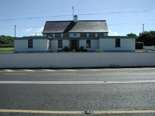 Carn National Schoolschool · 182 yd
 Enclosure in MoneygoldEnclosure · 642 yd
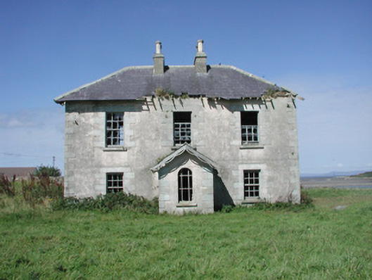 Mount Temple Housefarm house · 734 yd
 Tober PatrickHoly well · 1351 yd
 Connors IslandIsland · 1.4 mi
 InishnagorIslet · 1.7 mi
 CastleCastle, unclassified · 1.8 mi
 Trawalua StrandBeach / strand · 2.1 mi
 Atlantic SheepdogsHeritage attraction · 2.6 mi
 Streedagh BeachVisitor information · 2.8 mi
 Classiebawn WoodsWood · 2.9 mi
 BenwiskinMountain / peak · 3.0 mi